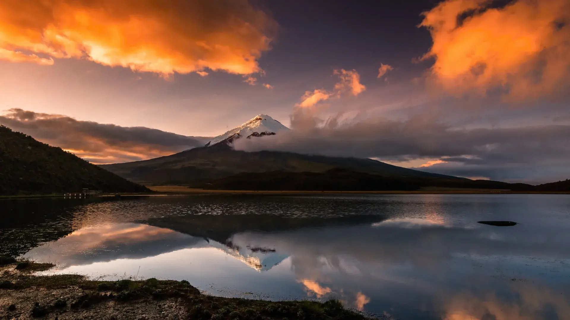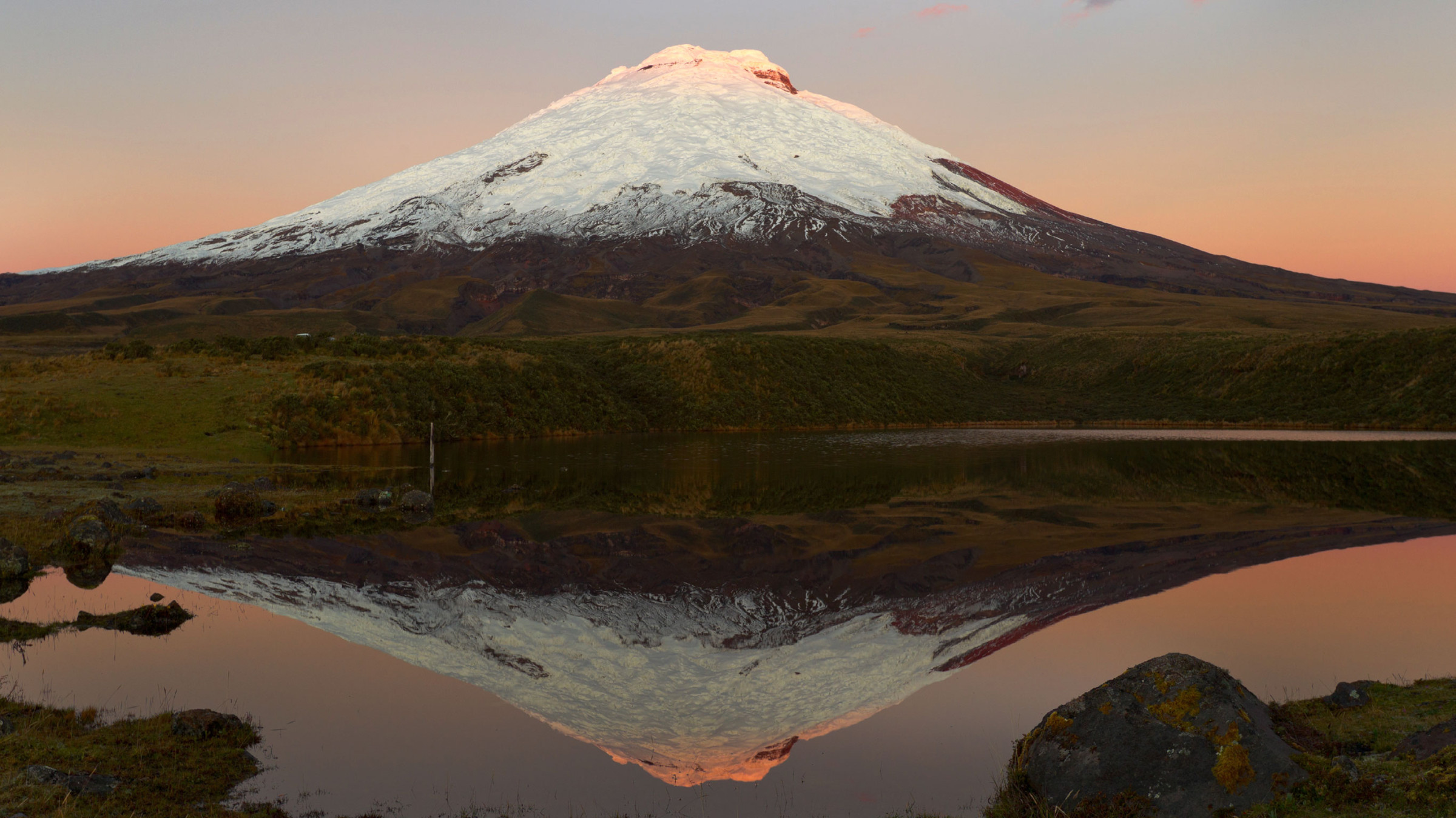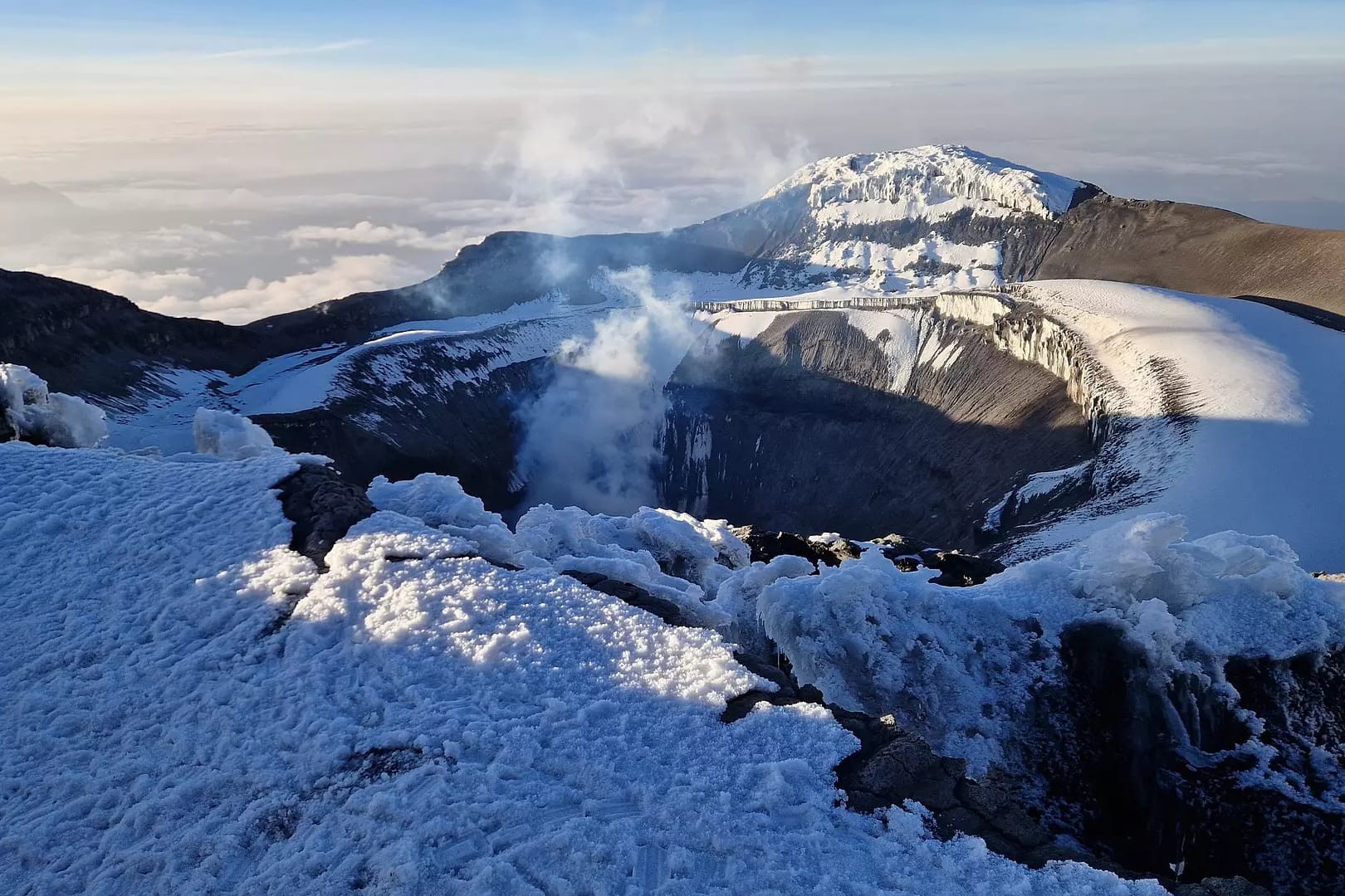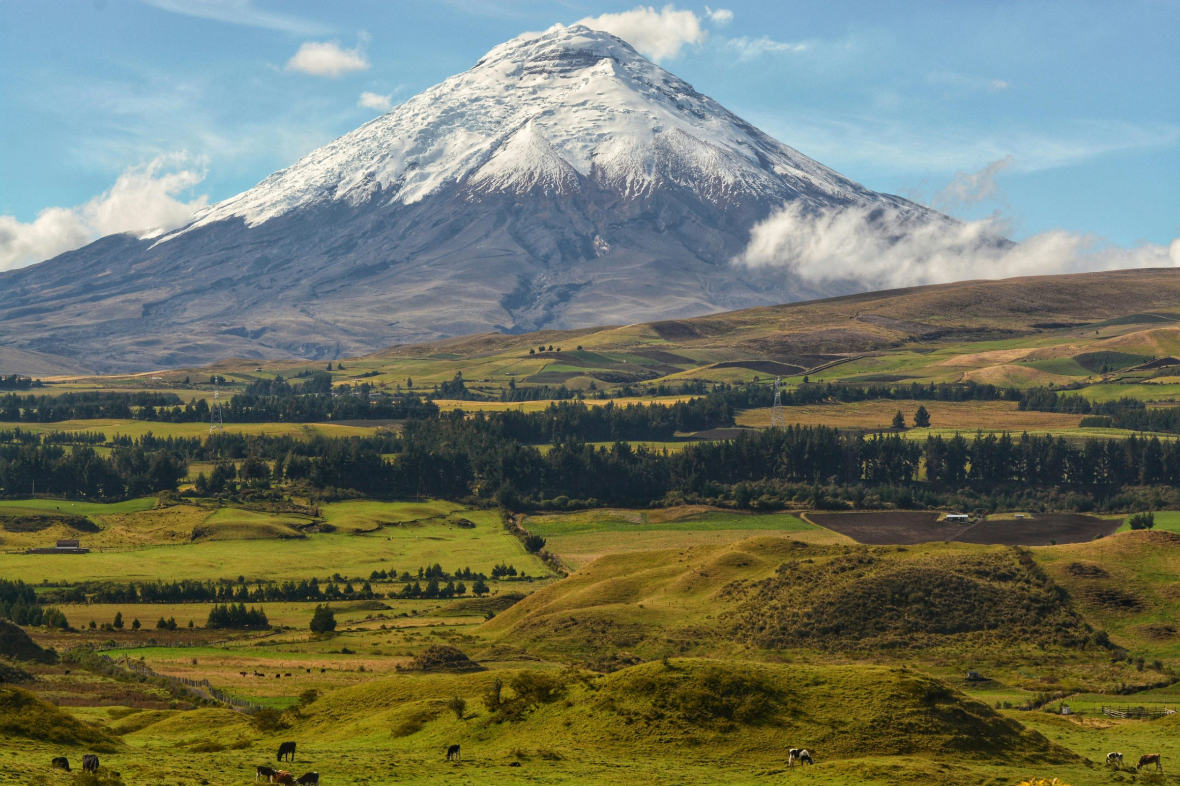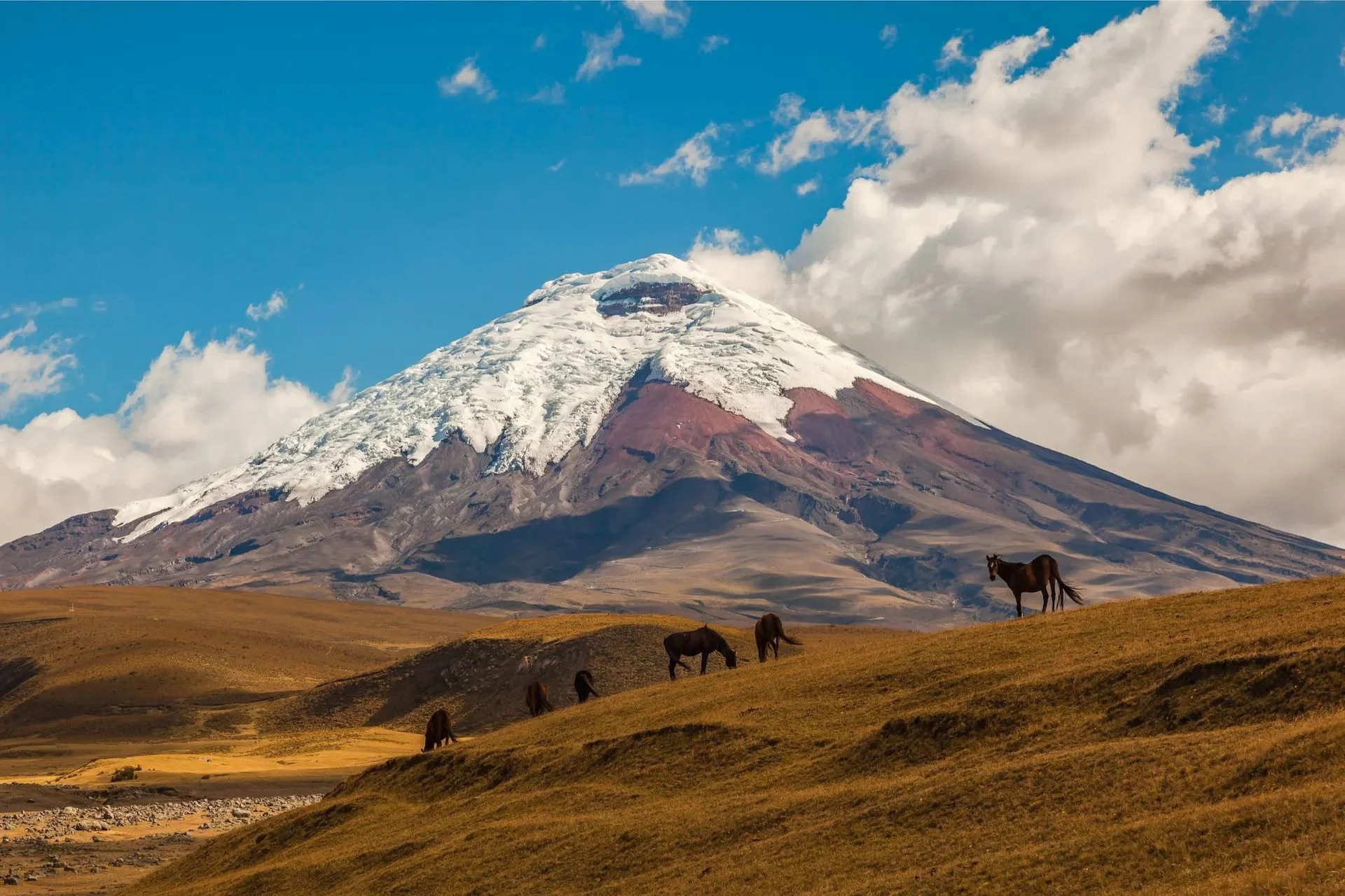
Cotopaxi rises 5,897 meters into the sky roughly 50 kilometers south of Quito, its nearly symmetrical snow-capped cone making it one of the most recognizable peaks in the Andes and the second-highest summit in Ecuador after Chimborazo. As an active stratovolcano, Cotopaxi has built its remarkably regular shape through countless cycles of eruption over its geological history, with a base spanning roughly 23 kilometers across and a summit crater measuring 800 by 550 meters and plunging 250 meters deep, dimensions that give some sense of the scale of the volcanic system hidden beneath the mountain's deceptively smooth exterior slopes. The volcano sits within Cotopaxi National Park, a protected high-altitude landscape of páramo grassland, wind-scoured volcanic terrain, and scattered lagoons that surrounds the peak and draws visitors independently of any interest in climbing the summit itself.
Despite sitting almost directly on the equator, Cotopaxi carries a permanent glacier cap beginning at around 5,000 meters elevation, one of only a small number of equatorial glaciers remaining anywhere in the world, a phenomenon made possible by the sheer altitude overcoming the tropical latitude's typically warm temperatures. This combination of active volcanism and permanent ice creates a genuinely serious natural hazard: should Cotopaxi erupt significantly while its glacier cap remains substantial, the resulting rapid ice melt could trigger lahars, fast-moving volcanic mudflows capable of traveling considerable distances down the mountain's flanks and threatening communities and infrastructure in the valleys below, a risk that Ecuadorian civil protection authorities monitor closely and factor into evacuation planning for the surrounding region. Climate change has already visibly reduced the extent of Cotopaxi's ice cap over recent decades, a trend scientists tracking equatorial glaciers worldwide have documented as part of the broader retreat of tropical glacial ice.
Cotopaxi ranks among Ecuador's most historically active volcanoes, with documented eruptions numbering 87 since records began in 1534, shortly after Spanish colonization of the region, giving researchers an unusually long written record for a South American volcano compared to many peaks whose eruptive history must be reconstructed almost entirely from geological evidence. Major eruptions in 1742, 1744, 1768, and 1877 caused significant destruction in surrounding communities, with the 1877 eruption in particular producing lahars that traveled more than 100 kilometers from the volcano, reaching as far as the Pacific coast and the Amazon basin on opposite sides of the country, a testament to just how far volcanic mudflows can travel when fed by rapidly melting glacial ice on a mountain of Cotopaxi's scale. Most recently, an eruption beginning in October 2022 marked a return to significant activity after a period of relative quiet, activity that authorities continue to monitor as an indication that Cotopaxi remains a genuinely live volcanic system rather than a dormant scenic backdrop.
Long before Spanish colonization, Andean peoples in the region regarded Cotopaxi as a sacred mountain, its name deriving from Quechua roots combining coto, meaning neck, and paxi, meaning moon, a name whose precise original significance has been variously interpreted by linguists and ethnographers studying the region's pre-Columbian cultures. Indigenous communities worshipped the volcano as a sender of rain and a guarantor of agricultural fertility, a reverence that predates the Inca expansion into the region and reflects a broader pattern across the Andes of treating major peaks as powerful spiritual entities directly connected to weather, water, and the success of highland farming. Elements of this reverence persist today in local Andean communities living around the volcano's base, where Cotopaxi remains a culturally significant landmark even as the surrounding area has also become one of Ecuador's most visited destinations for climbing, trekking, and high-altitude tourism.
The José F. Ribas Refuge, sitting at 4,864 meters on Cotopaxi's slopes, serves as the standard base for climbers attempting the summit, typically reached after a hike from the parking area followed by an overnight stay before a pre-dawn departure timed to reach the top and descend before the sun softens the snow and ice into more dangerous climbing conditions. Reaching Cotopaxi's summit is graded as moderately difficult alpine mountaineering, requiring proper glacier travel equipment including crampons and ice axes along with roped travel to manage crevasse risk, and during periods of high volcanic activity climbing permits may be restricted or suspended entirely depending on the mountain's current hazard status. On busy weekends during favorable conditions, as many as 100 climbers have attempted the summit in a single push, a volume that speaks to Cotopaxi's status as one of the more accessible high-altitude glaciated peaks in South America for climbers with appropriate experience and acclimatization, even as the mountain's underlying volcanic activity means conditions can change considerably from one season to the next.
Cotopaxi National Park welcomes far more visitors than the relatively small number who attempt the technical summit climb, with the park's páramo grasslands, volcanic terrain, and lagoons, most notably Limpiopungo, offering hiking and wildlife viewing accessible to visitors without mountaineering equipment or experience. Wild horses, Andean foxes, and, with considerable luck, condors can be spotted across the park's open highland terrain, and a paved and gravel road system allows visitors to drive substantially up the volcano's lower slopes to a parking area, from which a steep but non-technical trail climbs further to the Ribas Refuge, giving non-climbers a genuine taste of the mountain's scale and the surrounding altiplano landscape without requiring the equipment or fitness needed for the glaciated summit push above.
Quito, Ecuador's capital and the region's main international gateway, sits approximately 50 kilometers north of Cotopaxi, with the national park easily reached as a day trip by rental car, organized tour, or, for a portion of the journey, public transport connecting to nearby towns before a final approach by taxi or tour vehicle. Ecuador's equatorial location means Cotopaxi's climate varies more by altitude and by the country's broader wet and dry seasons than by the kind of pronounced summer-winter cycle found at higher latitudes, with the drier months from June through September and again briefly around December through January generally offering the clearest skies and most stable climbing conditions, while the wetter months bring more frequent cloud cover, snow, and precipitation that can complicate both summit attempts and simple sightseeing visits to the park's lower elevations.
Because Cotopaxi sits so close to Quito and the densely populated Interandean Valley, Ecuadorian authorities maintain one of the most closely monitored volcanic hazard programs in South America around the mountain, with seismic sensors, gas monitoring stations, and satellite observation feeding into an early warning system designed to give surrounding communities as much advance notice as possible in the event of a major eruption. This monitoring intensified considerably after periods of unrest in 2015 and again around the 2022 eruption, both of which prompted temporary evacuations and closures of the national park as a precaution, decisions that reflect the genuine seriousness with which Ecuadorian civil protection agencies treat the lahar risk posed by Cotopaxi's glacier cap. For visitors, this means access to the park and any climbing permits are always subject to the volcano's current official hazard status, a condition that can change with little notice and that responsible tour operators and climbing guides in the Quito area monitor as closely as the mountain's weather.
No reviews yet. Be the first to share your experience!
Share your experience and help other travelers