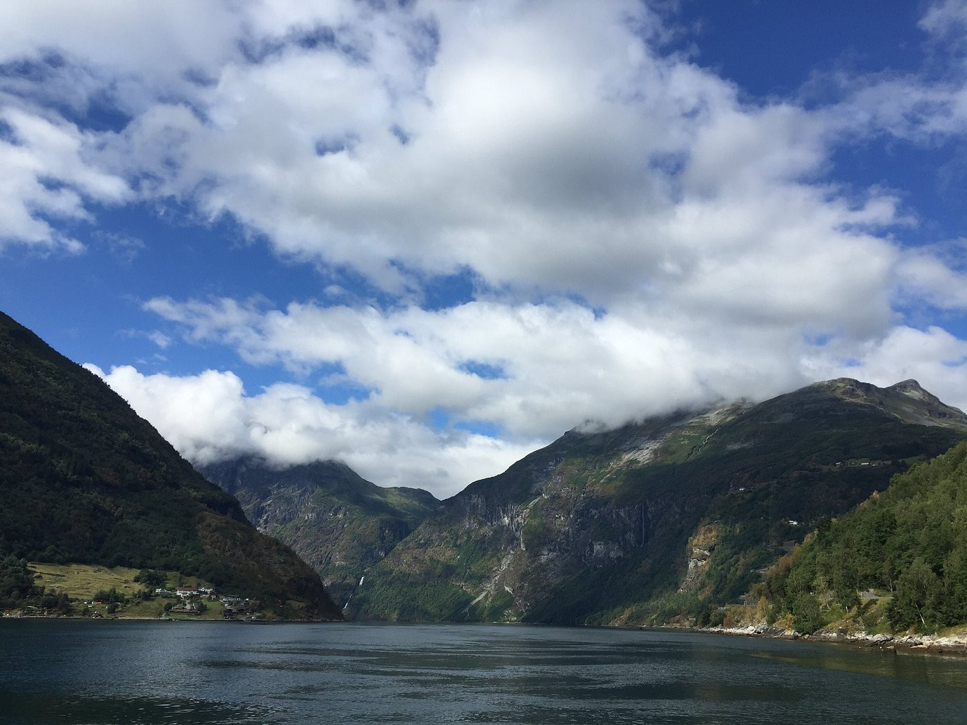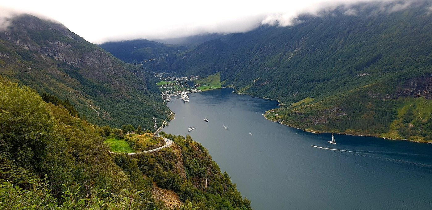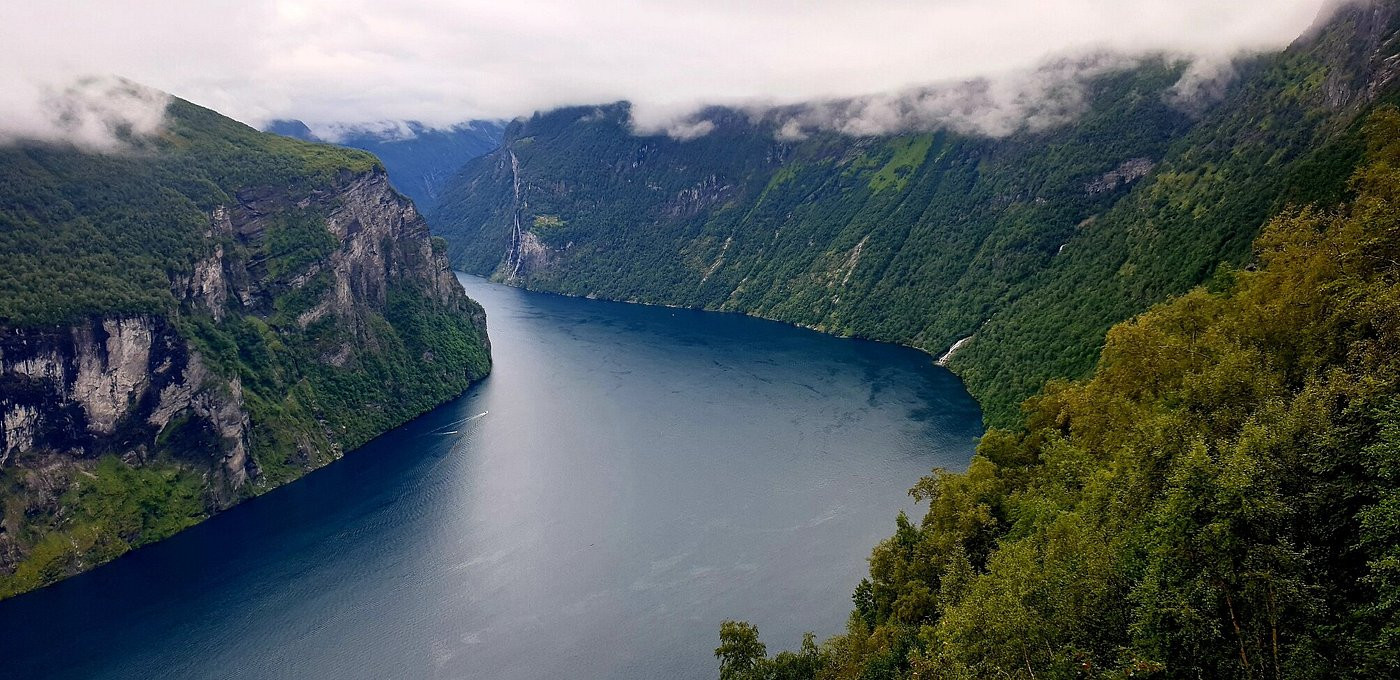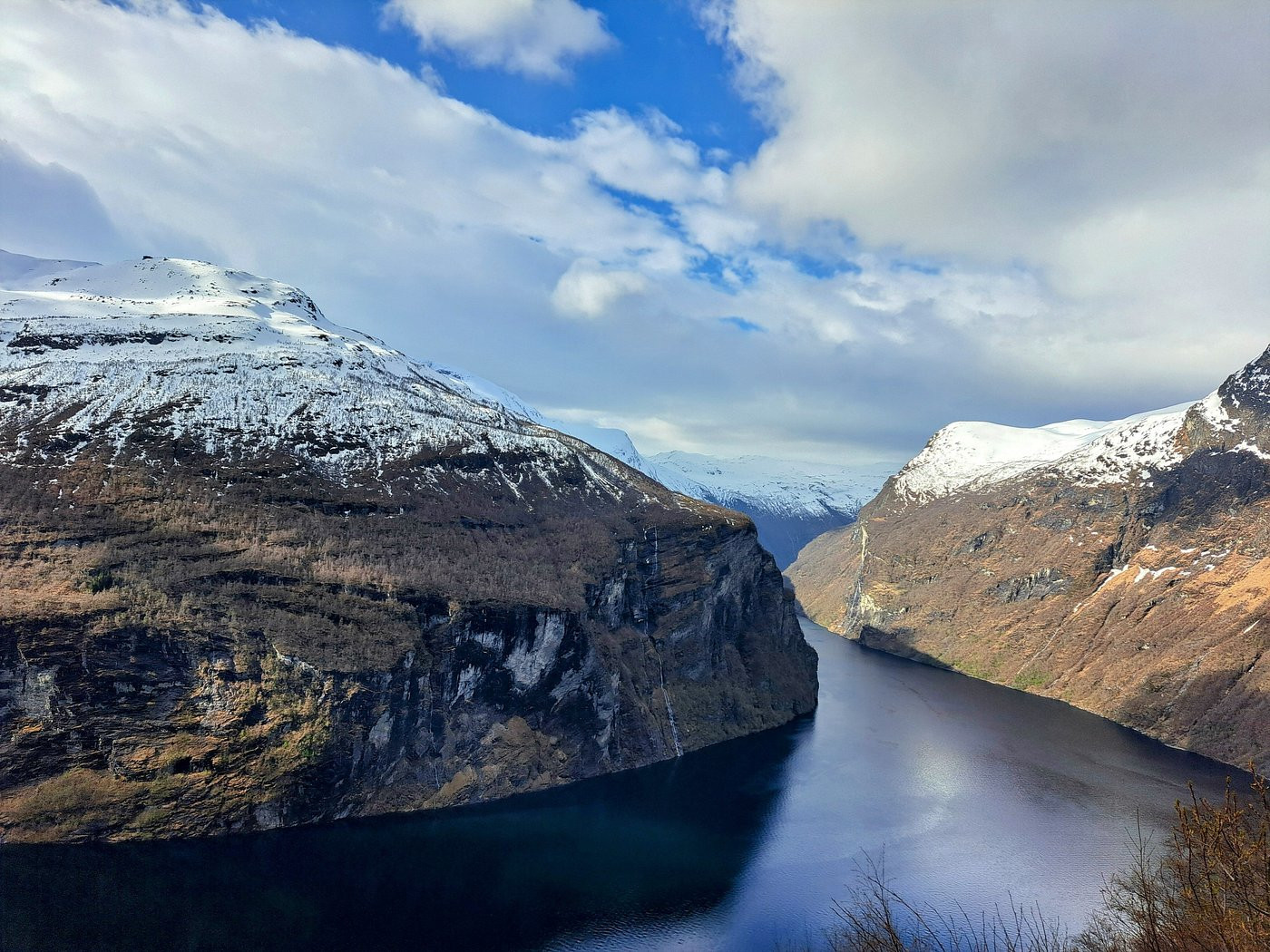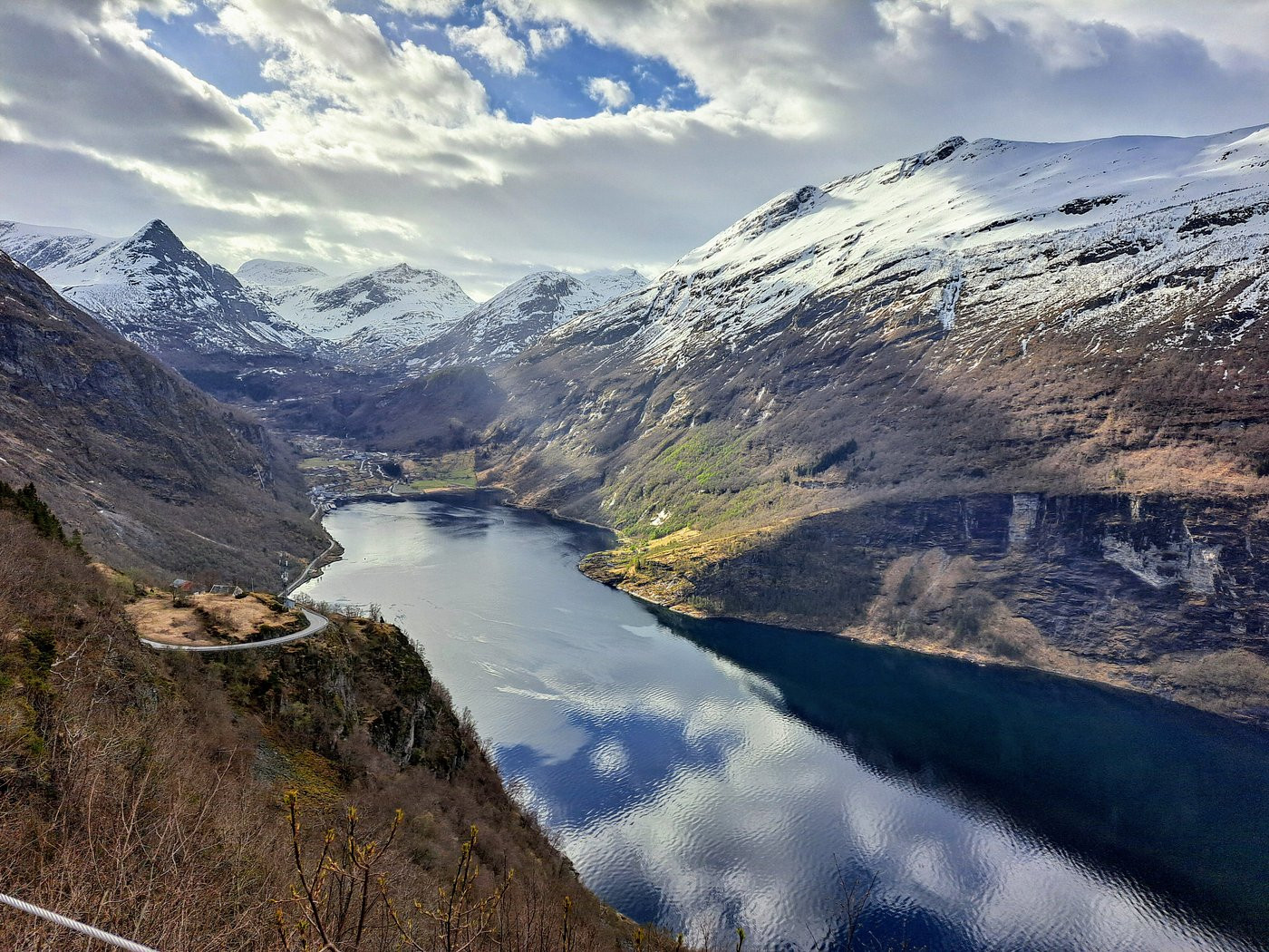
Geirangerfjord cuts fifteen kilometers into the mountains of western Norway, a narrow arm of deep blue water hemmed in by cliffs that rise more than a thousand meters straight from the surface. It is a branch of the larger Sunnylvsfjorden, itself part of the Storfjord system in the Sunnmore region of Mo re og Romsdal county. The fjord was carved during the last Ice Age, when glaciers ground through weaker layers of rock, deepening and widening a river valley into the U-shaped trench that remains today. At its deepest point the fjord reaches roughly 260 meters, and in places the surrounding peaks tower more than 1,500 meters above the water, creating a sense of scale that photographs rarely manage to capture. Waterfalls drop from hanging valleys all along the fjord's flanks, fed by snowmelt and glaciers that linger on the higher plateaus even in midsummer.
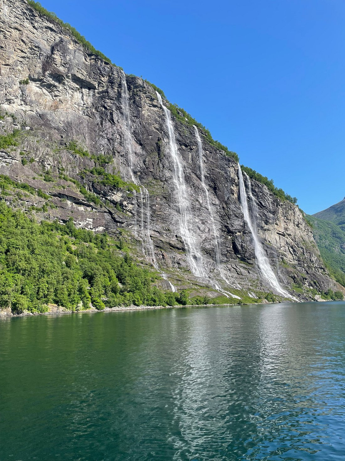
The fjord's most photographed feature is a cluster of waterfalls on its northern side known as De syv systre, the Seven Sisters, where seven separate streams tumble down a single rock face in parallel cascades that can appear to dance in the wind. Local folklore explains the waterfall arrangement across the fjord as a rejected marriage proposal: on the opposite cliff, a single cascade called Friaren, the Suitor, is said to have courted the Seven Sisters one by one and been refused by each, and its shape is sometimes likened to a bottle of alcohol, as if consoling itself after rejection. A short distance away, a third waterfall named Brudesloret, the Bridal Veil, completes the trio of falls that boat passengers watch for from the deck as their vessel threads through the narrowest stretch of the fjord. These waterfalls are seasonal in intensity, thundering during spring snowmelt and thinning to delicate threads by late summer, so the fjord looks different depending on when you visit.
In 2005 UNESCO inscribed Geirangerfjord, together with the more remote Naeroyfjord further south, as a joint World Heritage Site under the name West Norwegian Fjords. The listing recognizes the fjords as some of the finest and most dramatic examples of fjord landscape on the planet, praised for the combination of narrow, steep-sided valleys, cascading waterfalls, and a largely undisturbed setting that still supports small farming communities. UNESCO's assessment noted the exceptional natural beauty of the area as well as its geological value in illustrating the ongoing effects of glaciation on a young mountain landscape. The designation has brought increased visitor numbers and cruise traffic, and Norwegian authorities have since worked on regulations to manage tourism pressure, including limits on cruise ship emissions in the fjord, aimed at preserving both the water quality and the tranquility that made the site notable in the first place.
Scattered along the steep slopes above the fjord are the remains of small mountain farms, several of them perched on ledges so improbable that visitors often assume they must be inaccessible. Skageflå, reachable today by a marked hiking trail or a short boat trip followed by a climb, once supported a farming family who grazed goats on the surrounding slopes and lowered produce down to boats using ropes and pulleys. Knivsflaa, even higher and more isolated, tells a similar story of a farming life shaped entirely by verticality, where children were said to have been tied to posts in infancy to prevent them from falling off the mountainside. These farms were abandoned through the twentieth century as easier livelihoods became available elsewhere, but several have been preserved or restored, and the paths leading to them are now popular half-day hikes that reward the climb with sweeping views back down the fjord. The farms stand as a reminder that this landscape, however wild it appears, was inhabited and worked for generations before it became a destination.
Few fjords in Norway offer as many accessible high vantage points as Geiranger. Dalsnibba, reached via a toll road that climbs to roughly 1,500 meters, is one of the highest viewpoints in Norway accessible by car and gives a near-vertical view straight down into the fjord and the village below, weather permitting. Closer to the village, Flydalsjuvet is a rock ledge overlooking the fjord that has become one of the most photographed spots in Norway, its curved outcrop appearing in countless travel images of a lone figure gazing over the water. Above the village on the opposite side, the Eagle Road, Ornevegen, climbs the mountainside through eleven tight hairpin bends before reaching a viewpoint that frames the entire fjord, the waterfalls, and the tiny cluster of buildings that make up Geiranger village far below. Further afield, the famous Trollstigen mountain pass lies within a scenic day's drive, making this corner of Norway a natural loop for travelers touring the fjord region by car.
Geiranger village sits at the head of the fjord and functions as the main base for visitors, though it is small and its infrastructure swells considerably during the cruise season. The nearest airport with regular scheduled flights is Alesund Vigra, roughly 120 kilometers away by road and ferry combinations, from which travelers typically continue by rental car, bus, or a combination of road and the Hellesylt-Geiranger ferry that crosses the fjord itself. That ferry route is considered one of the classic ways to experience the fjord, since it passes directly beneath the Seven Sisters and the Suitor at close range. Sightseeing boats and RIB tours also run from Geiranger village throughout the season, offering shorter trips focused on the waterfalls and the abandoned farms without the commitment of the full ferry crossing. Driving into the region involves some of Norway's most scenic but demanding mountain roads, and travelers renting a car should budget extra time for the hairpin switchbacks and for pulling over at the frequent viewpoints along the way.
The fjord is open and accessible year-round, but the practical visitor season runs from May through September, when mountain roads such as the Dalsnibba toll road and Trollstigen are reliably open and ferry and boat services run their full schedules. June and July bring the longest daylight, with near-midnight sun at this latitude, and the waterfalls are typically at their fullest in late spring as snow melts from the surrounding peaks. August and September see somewhat thinner crowds than peak July while still offering good weather odds and the added bonus of early autumn color on the lower slopes. Winter transforms the fjord into a quieter, starkly beautiful place with far fewer services running, appealing mainly to travelers seeking solitude over convenience. Regardless of season, weather in fjord country can change quickly, and visitors aiming for the high viewpoints should have a flexible backup plan in case low cloud obscures the views on a given day.
Geirangerfjord is one of the most popular cruise ship destinations in Norway, and on peak summer days the small village can receive several large vessels at once, temporarily multiplying its population many times over. This has made the fjord something of a case study in tourism management, with Norwegian authorities introducing stricter emissions requirements for ships entering the fjord and discussing further limits on visitor numbers to protect both the environment and the experience for those on land. Travelers who prefer a quieter visit are generally advised to check the cruise ship schedule in advance and to time hikes to the farms or trips to the high viewpoints for early morning or evening, when the day-trip crowds from moored ships have thinned. Staying overnight in or near Geiranger, rather than visiting as a day trip, remains one of the more reliable ways to see the fjord in its quieter moments, particularly around sunrise when the water is often at its calmest.
No reviews yet. Be the first to share your experience!
Share your experience and help other travelers