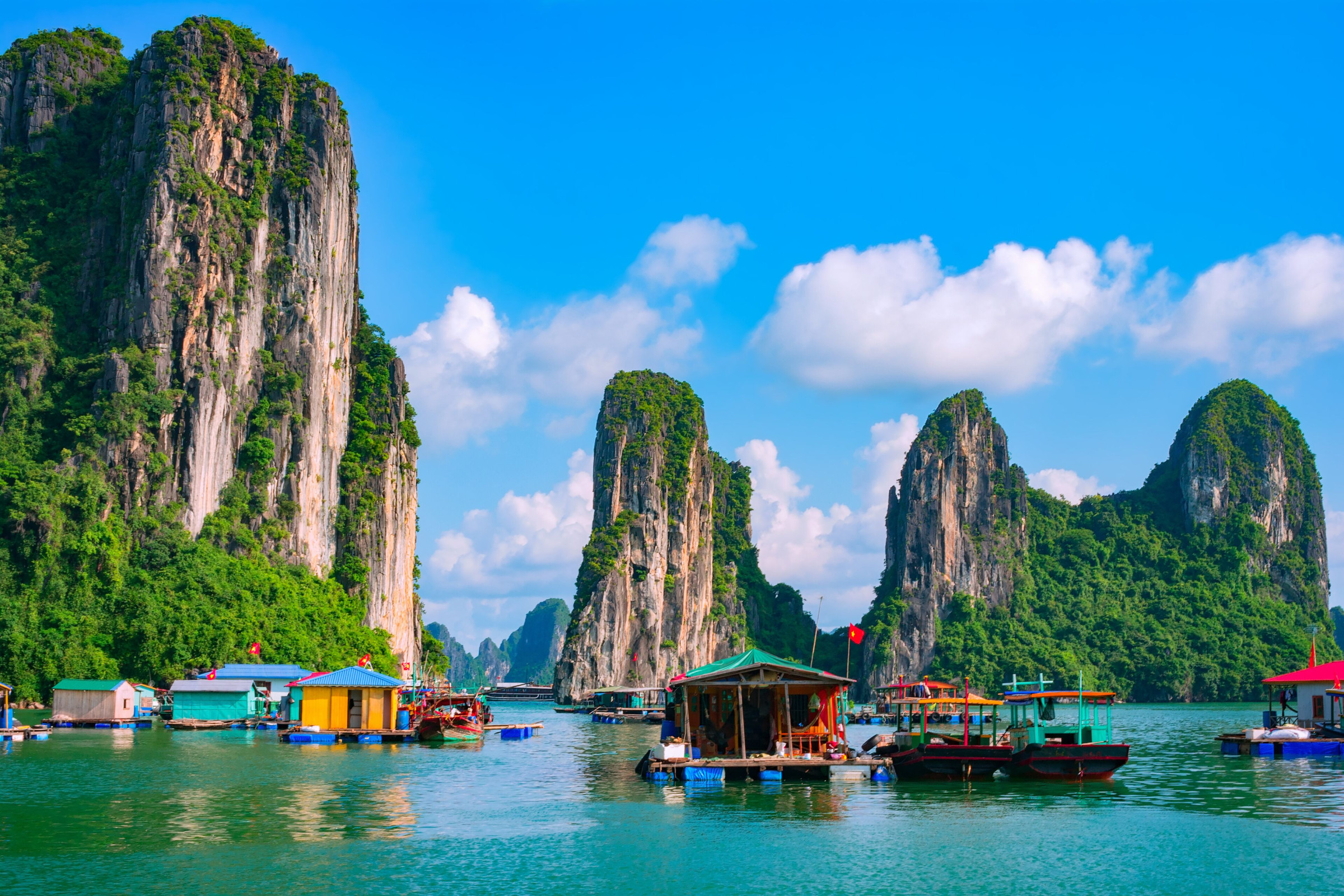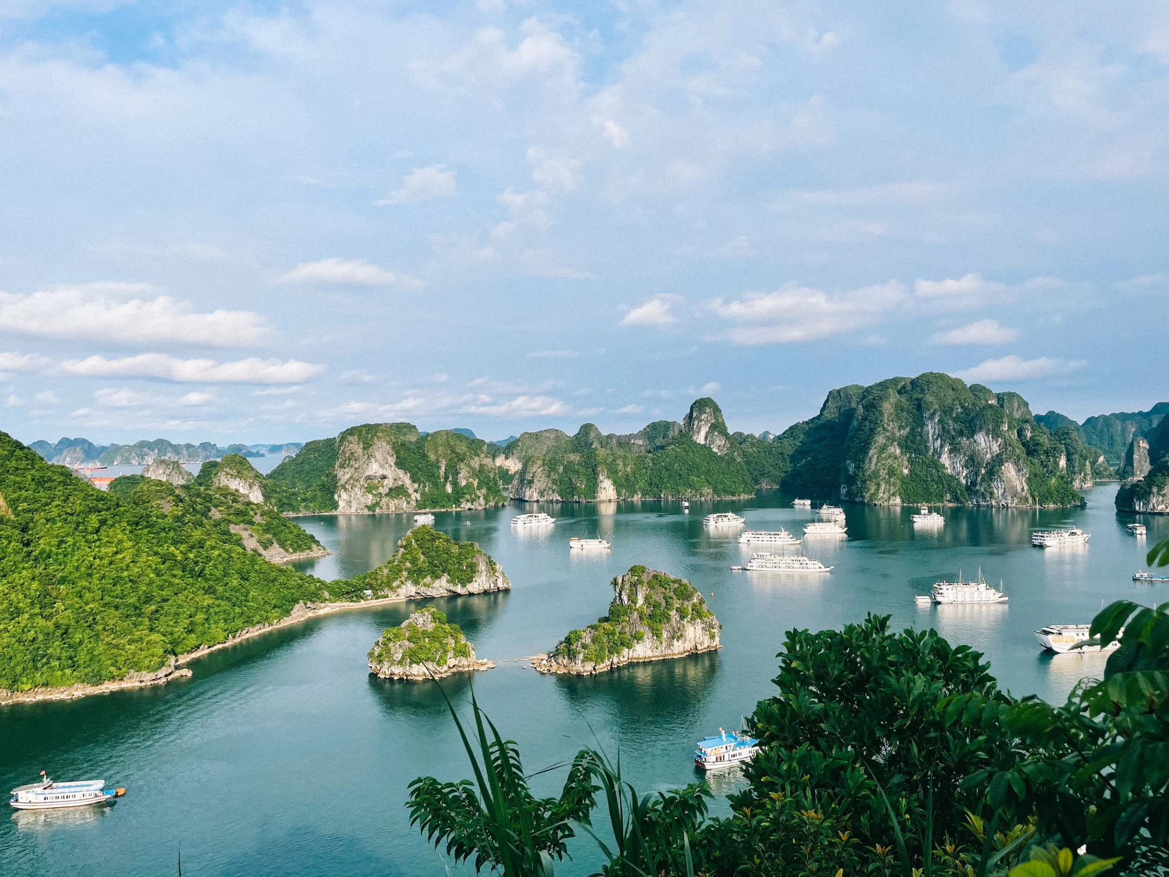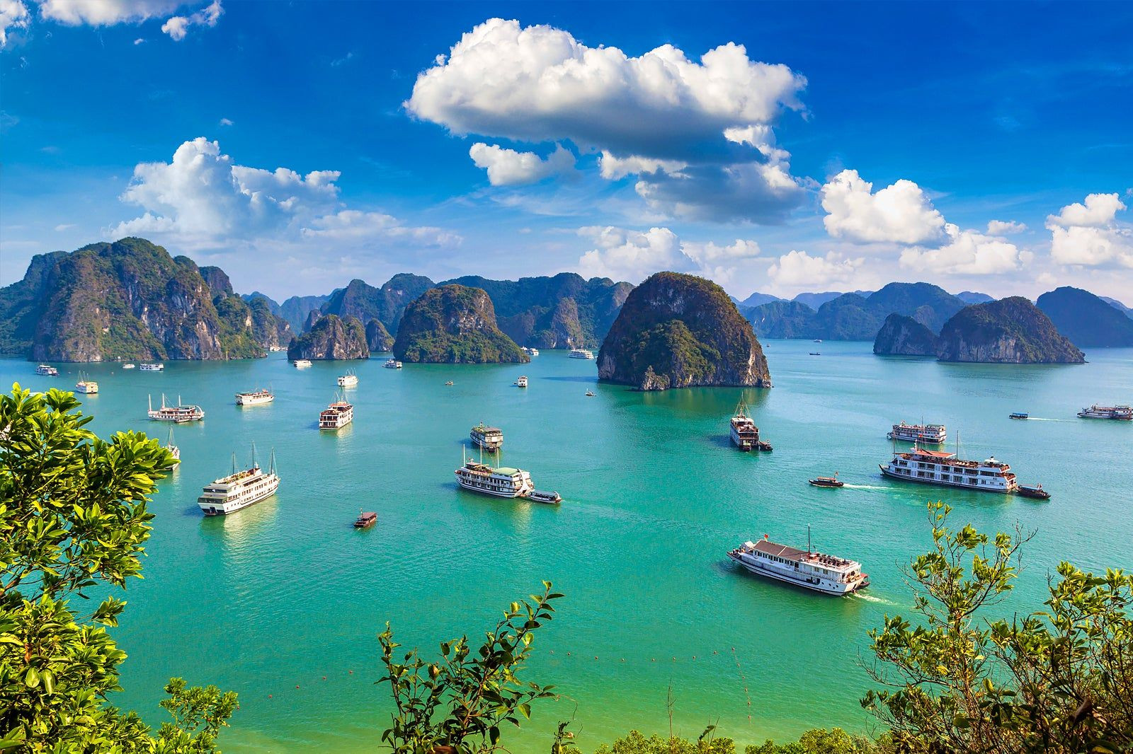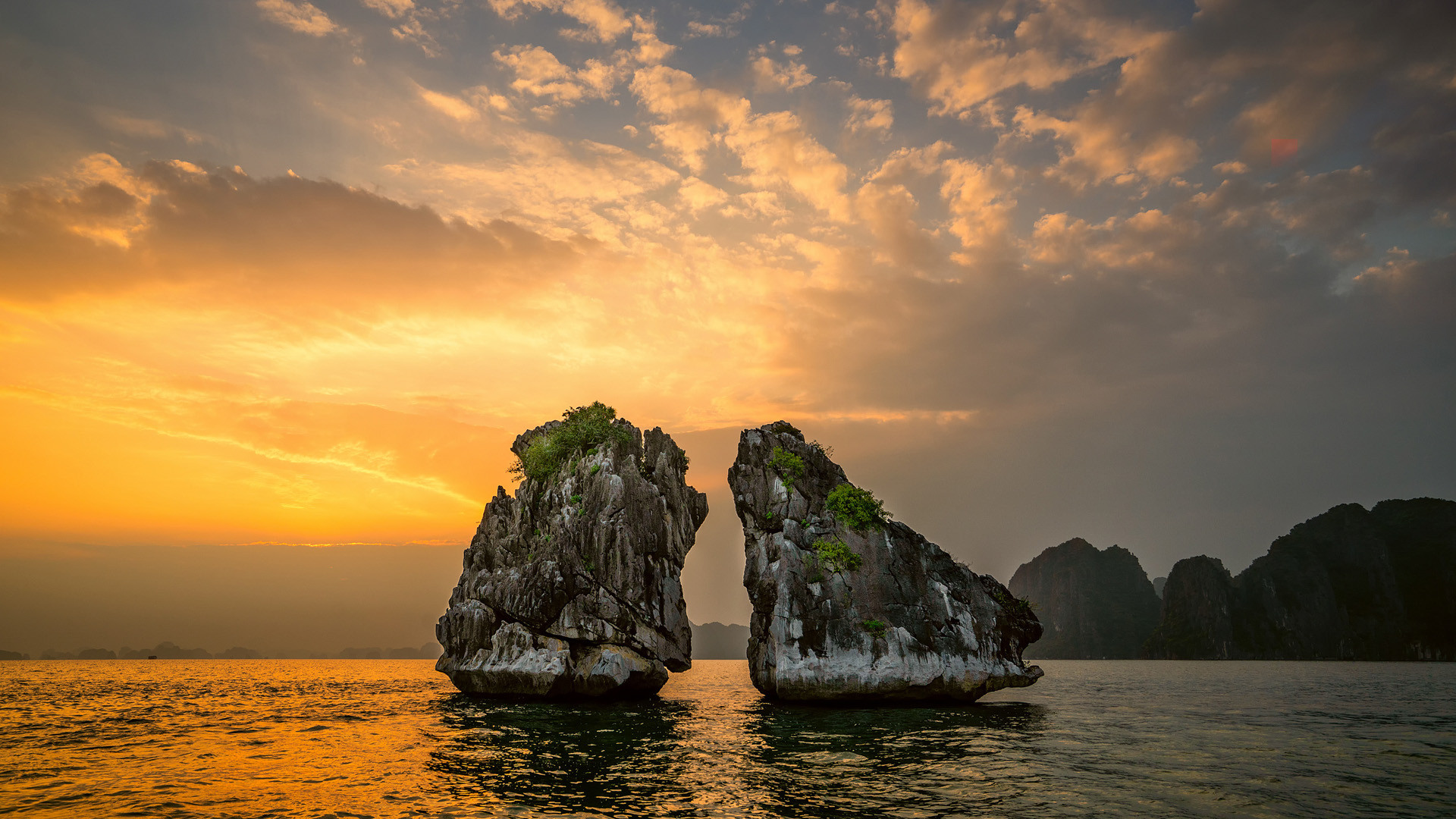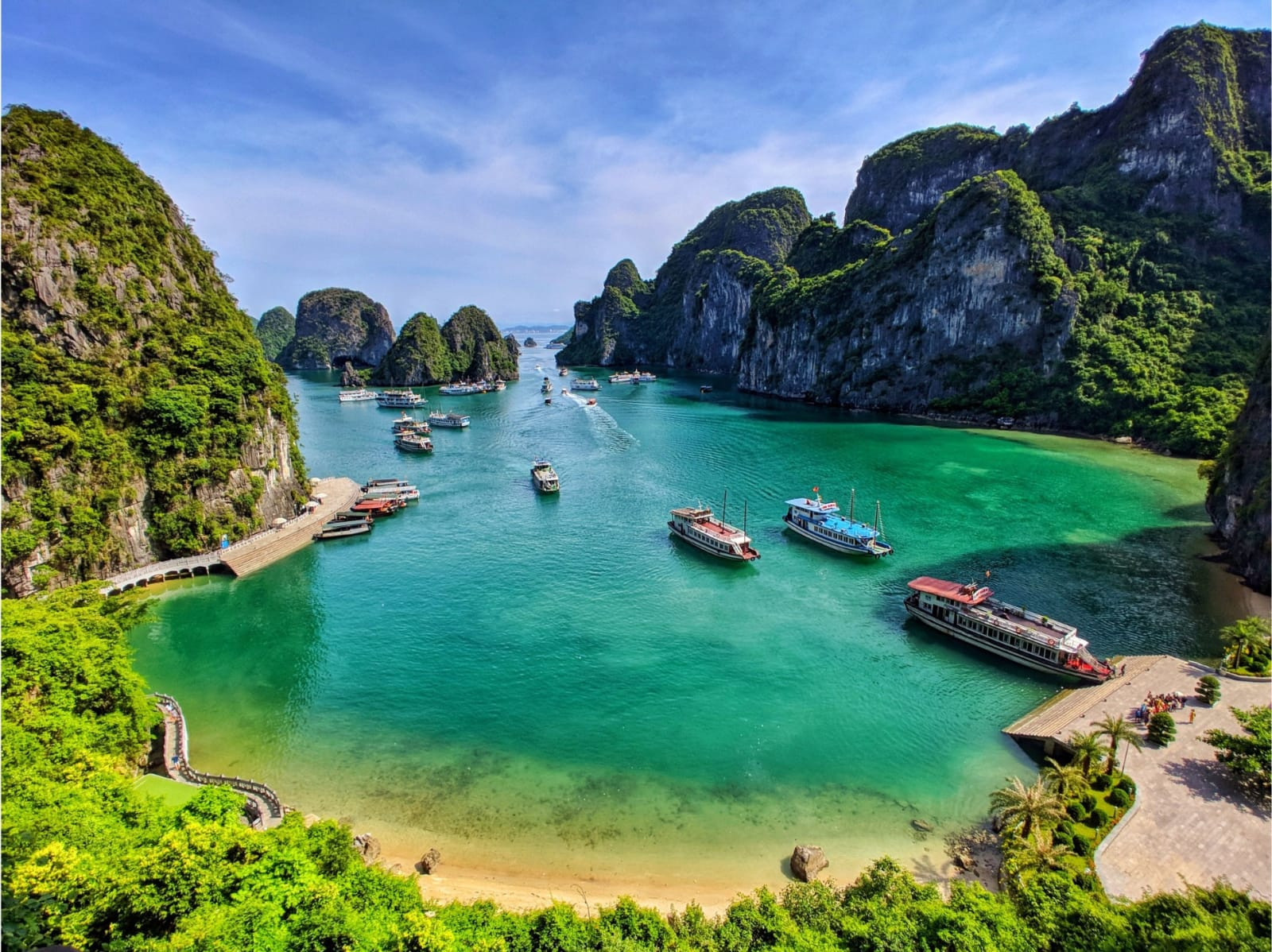
Scattered across roughly 1,553 square kilometers of emerald water in northeastern Vietnam, this bay holds an almost unbelievable number of islands: 1,969 in total, of which 989 have been given names, rising out of the sea as sheer limestone towers draped in tropical vegetation. Only around 40 of these islands are inhabited, most of the rest too steep, small, or simply inaccessible to support permanent settlement, leaving the bay looking much as it likely has for thousands of years — a maze of karst pillars separated by narrow channels of still water.
The geology behind this landscape runs deep, literally. The limestone that makes up the islands began forming as marine sediment roughly 500 million years ago, but the karst towers themselves are a much more recent product of about 20 million years of tropical weathering, as rain and seawater slowly dissolved the limestone along cracks and fault lines, carving caves, arches, and the narrow-based, wide-topped pillars the bay is known for. The bay's current shape largely dates to the mid-Holocene, when rising sea levels flooded the lower valleys between the karst towers, turning what had been a hilly limestone landscape into an archipelago.
The name translates roughly to "descending dragon," tied to a legend that a family of dragons sent by the gods spat out jewels and jade that turned into these islands, forming a natural barrier to protect the Vietnamese coast from invaders. History gave the legend some grounding in fact: in 1288, General Trần Hưng Đạo used the bay's maze of islands and channels to defeat an invading Mongol fleet, driving iron-tipped stakes into the riverbed at low tide to destroy enemy ships as they retreated — one of several decisive naval victories that shaped Vietnam's early independence.
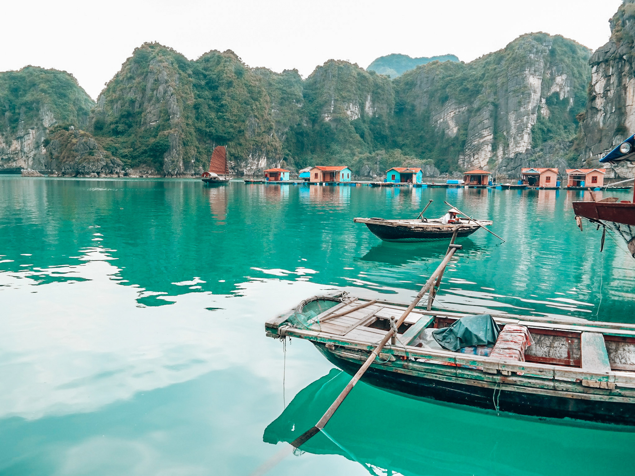
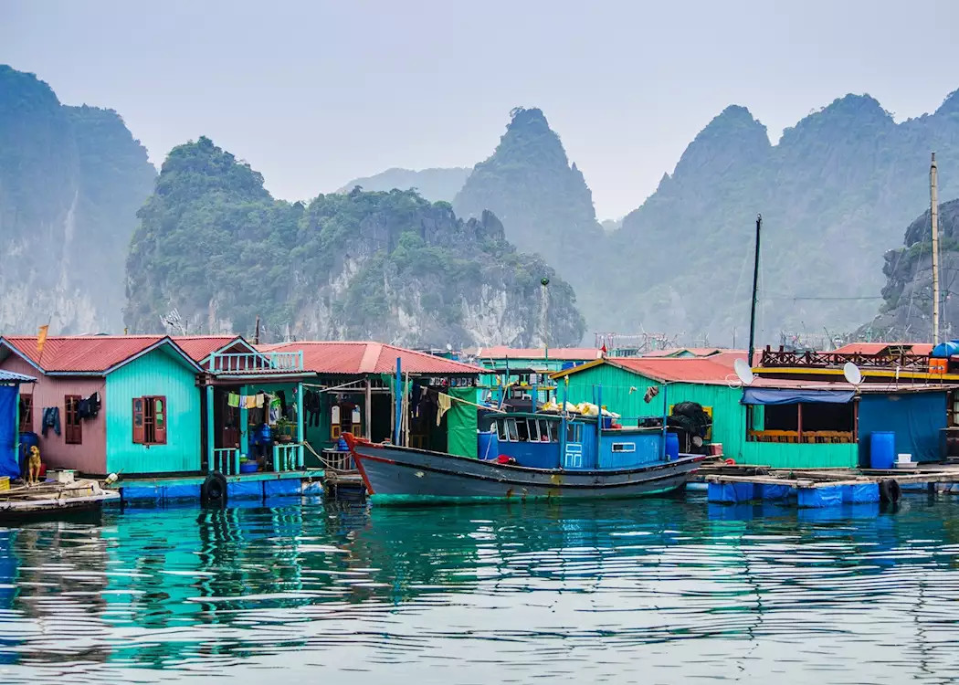
Human presence in the bay goes back much further still. Archaeological evidence points to the Soi Nhụ culture inhabiting the area as early as 18,000 BC, followed by the Cái Bèo culture around 7,000 to 5,000 BC and the Hạ Long culture roughly 3,500 to 5,000 years ago, making this one of the longest continuously occupied coastal landscapes in Southeast Asia. Descendants of that maritime tradition still live in a handful of floating fishing villages within the bay, including Cửa Vạn, Ba Hang, Cống Tàu, and Vông Viêng, with a combined population of roughly 1,600 people living directly on the water.
Beyond the scenery, the bay supports a surprisingly rich pocket of biodiversity for its size, sheltering around 14 endemic plant species and 60 endemic animal species found nowhere else, along with roughly 200 fish species and 450 mollusk species living in and around its waters and caves. Many of the islands hide grottoes carved by the same weathering process that shaped their exterior, some large enough to hold underground lakes or forested sinkholes accessible only from the water.
This combination of scenery, biology, and geology earned the bay a rare double UNESCO recognition: first in 1994 for its outstanding aesthetic value, and again in 2000 for its geological and geomorphological significance, one of relatively few World Heritage Sites listed twice under different criteria. In 2012 it was also named one of the New 7 Wonders of Nature following a global public vote.
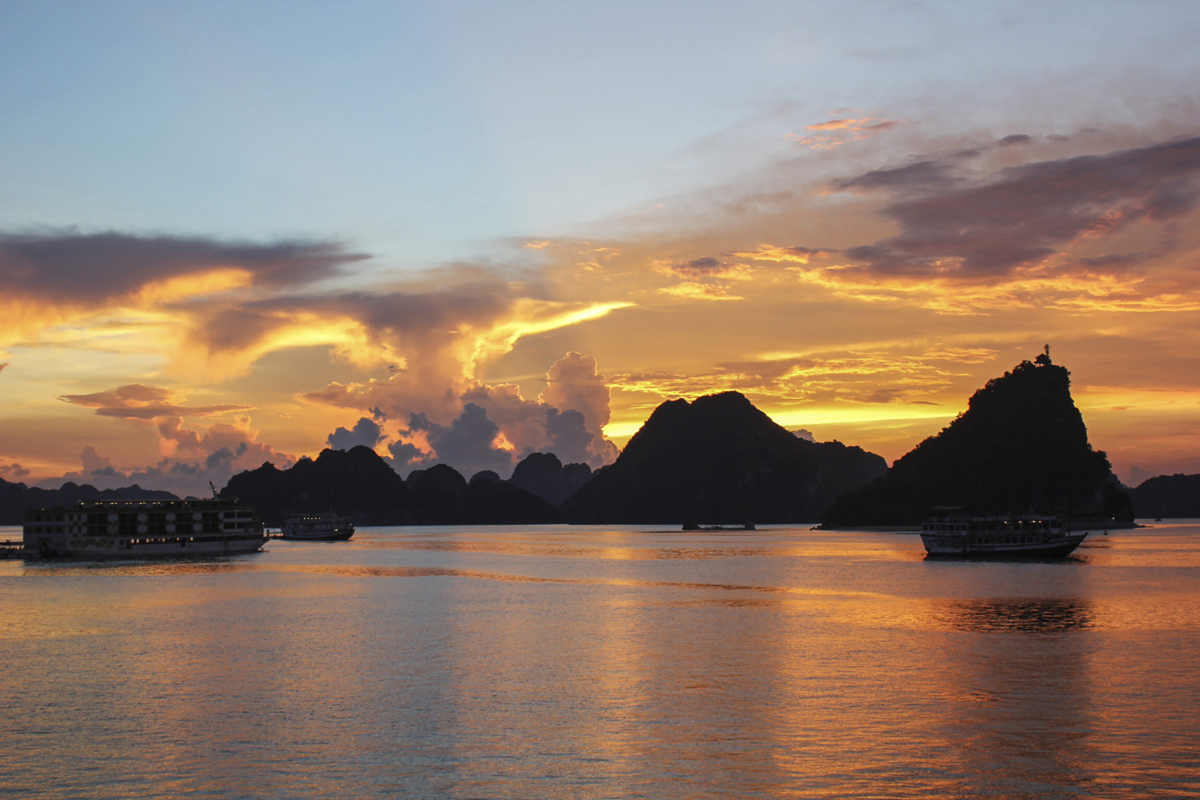
Most visitors experience the bay from the water, typically joining an overnight or multi-day cruise out of Hạ Long City, roughly two to three hours by road from Hanoi. Boats wind between the limestone towers, stopping at caves like Sửng Sốt (Surprise Cave), floating villages, and quiet coves for swimming or kayaking, with the islands' silhouettes shifting dramatically depending on the time of day and the region's frequent low mist.
Weather shapes the experience significantly: the drier, cooler months from October to April, particularly autumn, tend to bring calmer seas and clearer visibility, while the July–August window carries the highest risk of storms, sometimes forcing cruise operators to adjust or reroute itineraries at short notice.
No reviews yet. Be the first to share your experience!
Share your experience and help other travelers