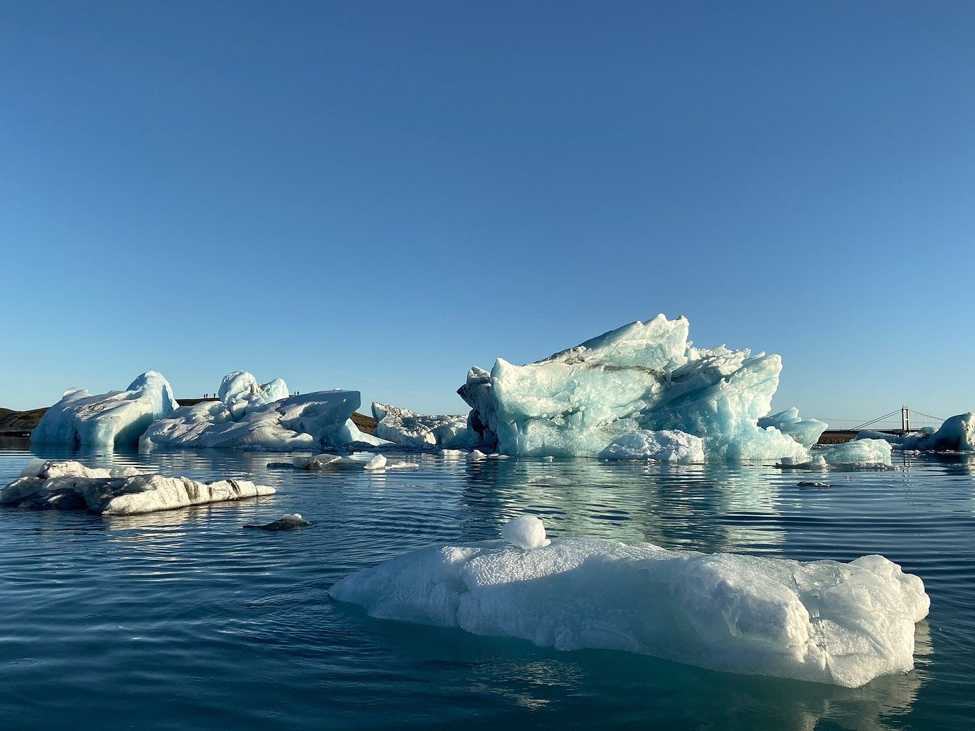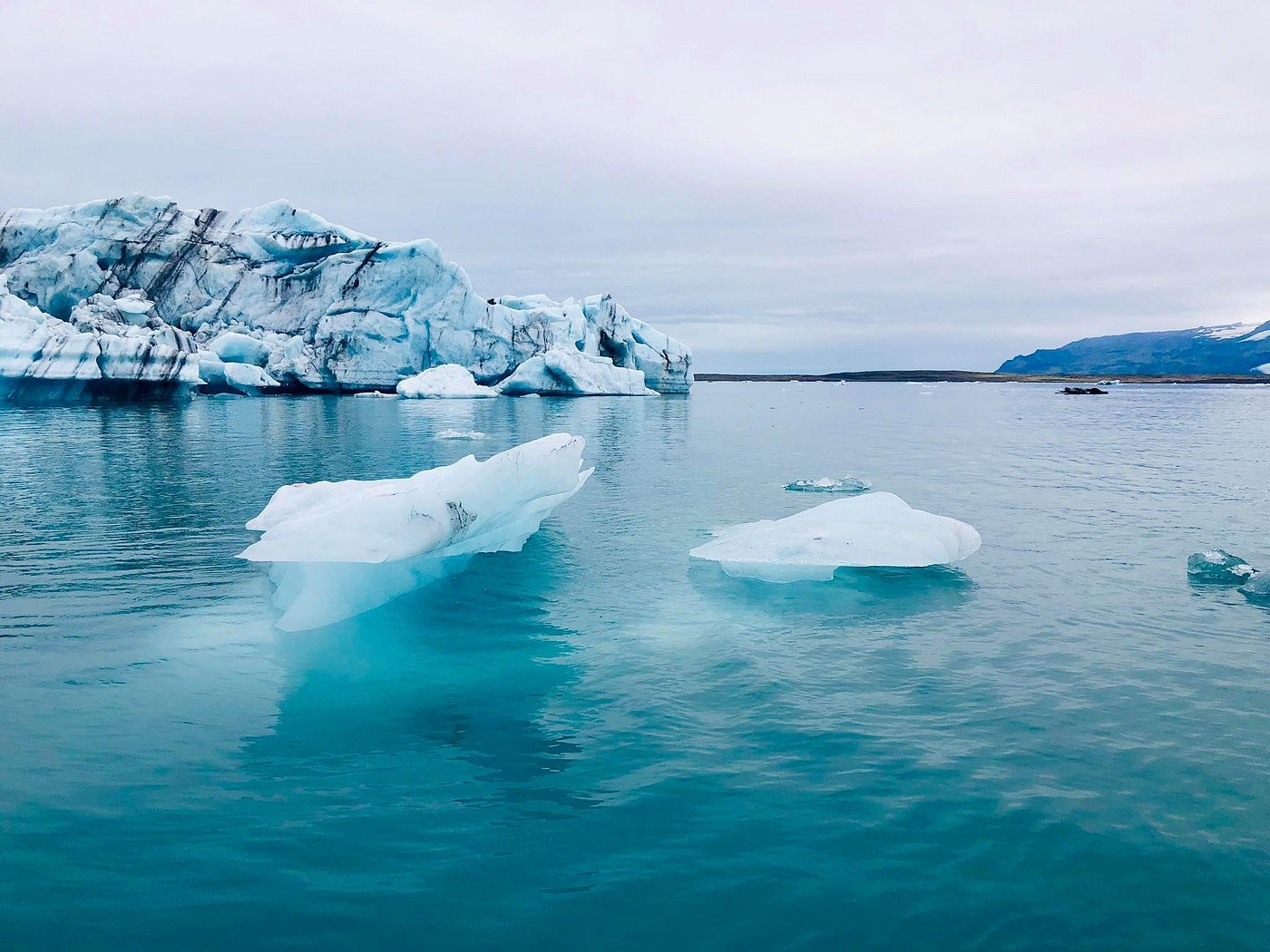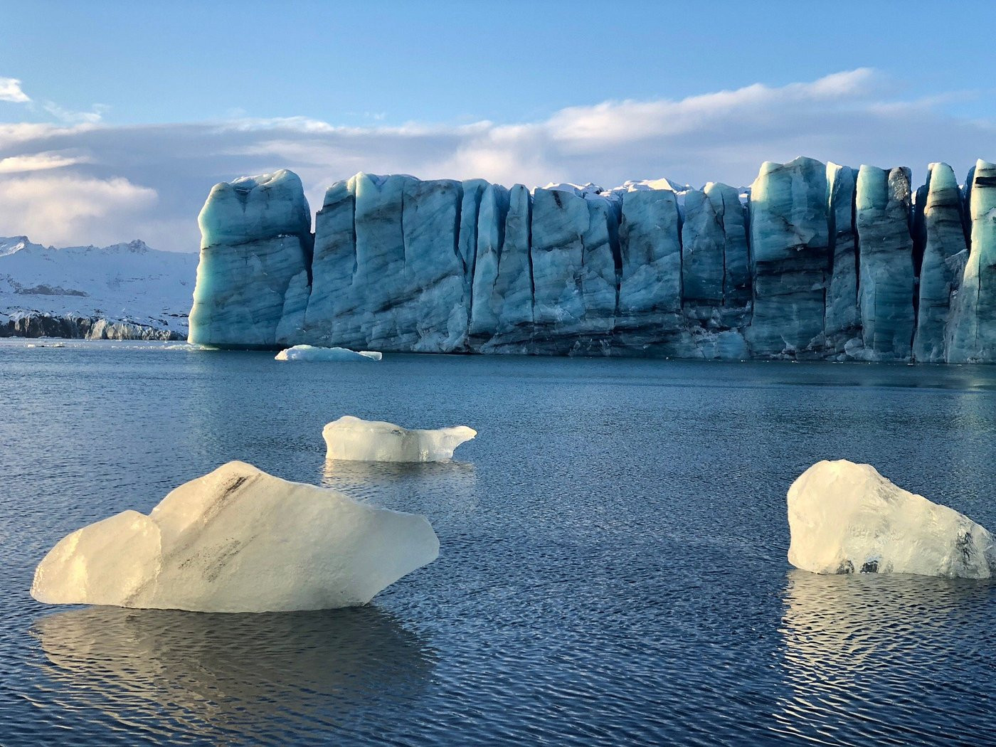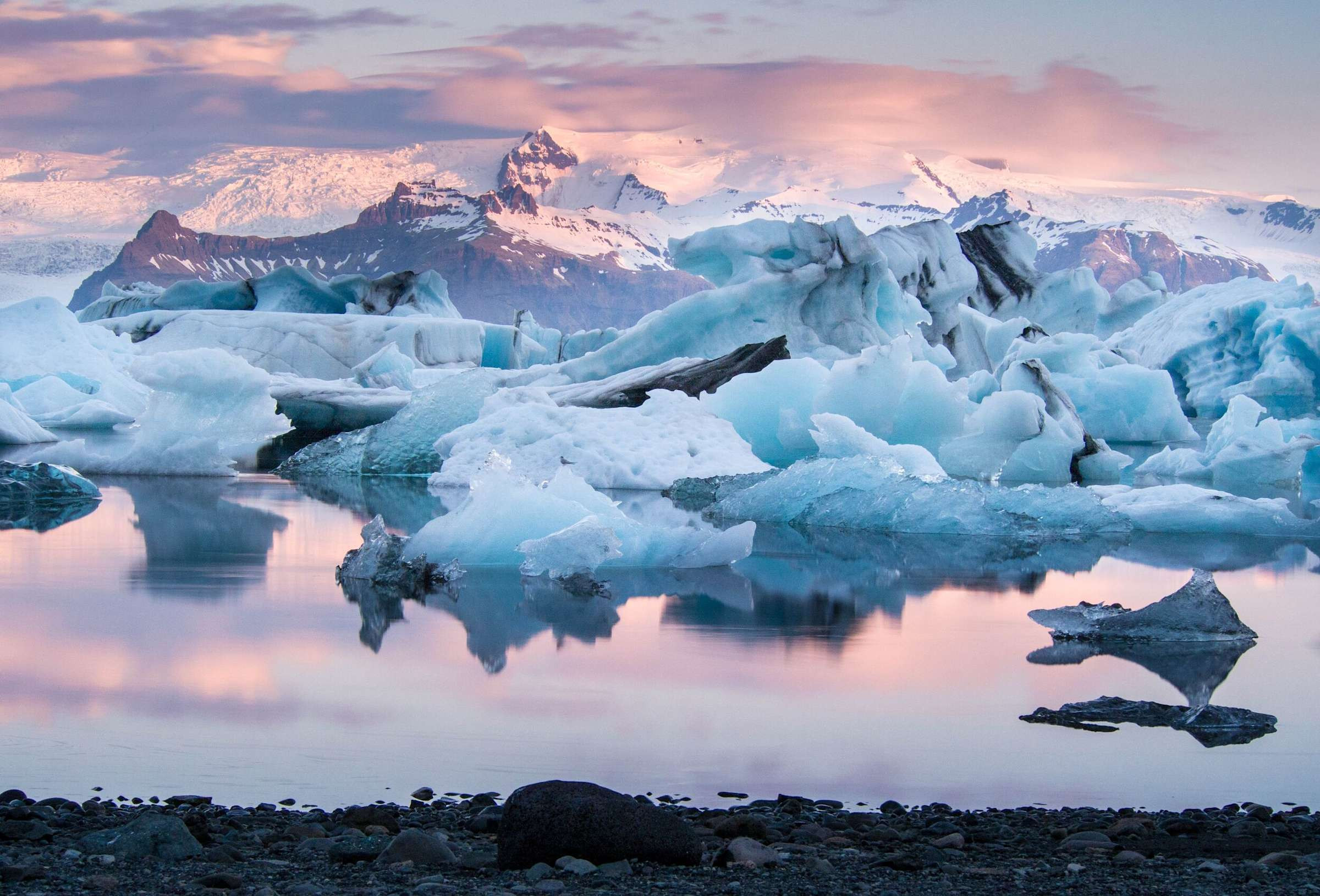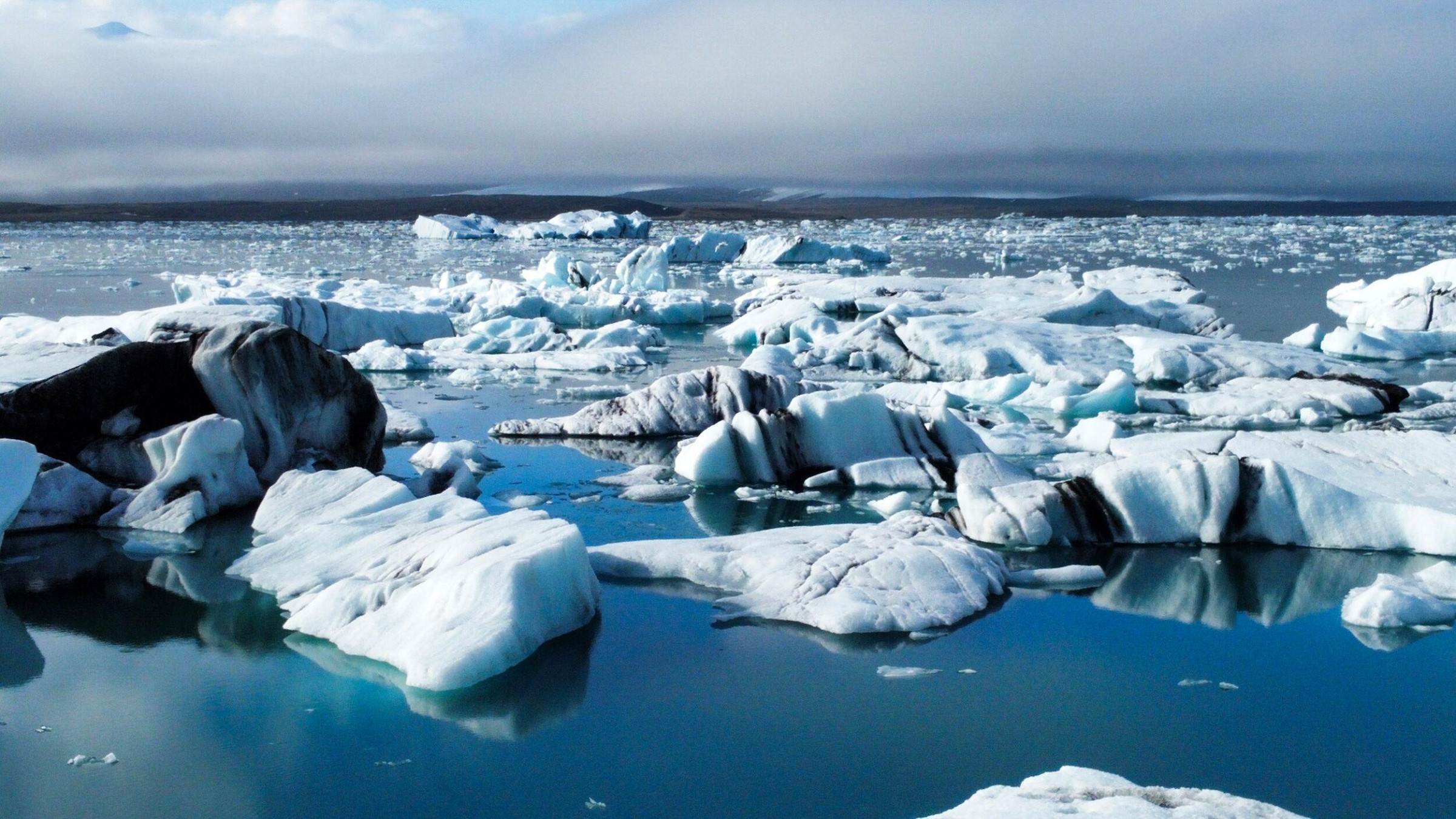
Drive Iceland's Ring Road along the south coast today and you'll pass a lake filled with drifting icebergs, calm enough to mirror the glacier behind it — a scene so cinematic it's appeared in multiple James Bond films. A century ago, none of it existed. The site was solid ice, part of the vast tongue of Breiðamerkurjökull glacier, itself an outlet of Iceland's massive Vatnajökull ice cap, extending all the way to within a few hundred meters of the ocean.
That changed as the glacier began retreating. Breiðamerkurjökull had advanced significantly during the Little Ice Age, a centuries-long cooling period that peaked in Iceland's case around 1600–1900, pushing the glacier's edge close to the sea. But as the climate warmed through the 20th century, the glacier retreated rapidly between roughly 1920 and 1965, and meltwater began pooling in the depression the retreating ice left behind. The lagoon is generally dated to having formed around 1934–1935 — meaning it's younger than most grandparents alive today.
What started as a small meltwater pool has expanded dramatically and continues to grow every year the glacier keeps retreating, which it reliably has. The lagoon covered roughly 8 square kilometers in the 1970s; by the mid-2000s it had already doubled from that figure, and current measurements put its area at around 25 square kilometers — roughly triple its size just fifty years ago. Depth has grown just as dramatically: by 2009, measurements found sections over 284 meters deep, making it, at least briefly, Iceland's deepest lake, with the deepest sections corresponding to where the glacier itself used to sit.
The glacier's edge now sits roughly 8 kilometers from the ocean and continues retreating at a rate of about 200 meters a year — meaning the lagoon isn't a fixed, stable feature so much as a visible, yearly-changing measurement of how fast the ice above it is disappearing. Scientists studying Icelandic glaciers use Jokulsarlon as one of the more visually dramatic, publicly accessible illustrations of contemporary glacial retreat.
The icebergs that give the lagoon its postcard appearance are chunks that calve directly off Breiðamerkurjökull's face, some estimated to be up to a thousand years old based on how deep within the glacier's ice they originally formed. Currents slowly carry these icebergs across the lagoon toward a narrow channel connecting it to the Atlantic, where many run aground briefly on a sandbar before eventually washing out to sea — a journey that can take anywhere from months to a few years depending on iceberg size and lagoon currents.
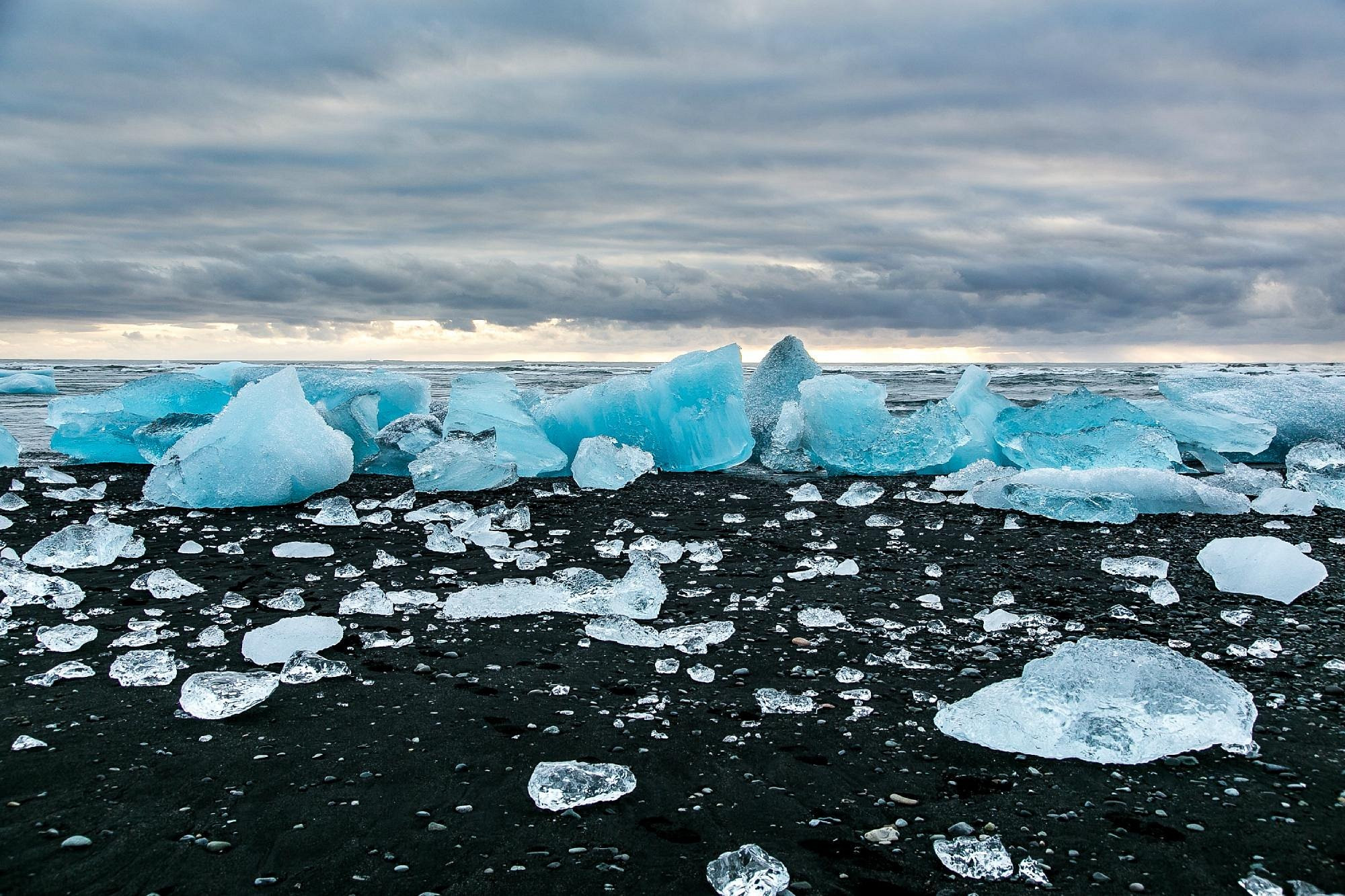
Some icebergs get pushed back onto the black volcanic sand beach just across the Ring Road from the lagoon's outlet, where waves polish them into clear, glassy chunks that glitter against the dark sand — a contrast striking enough that the beach earned its own nickname, Diamond Beach, and has become nearly as photographed as the lagoon itself.
The lagoon's brackish mix of glacial meltwater and incoming seawater supports a surprising amount of wildlife for a body of water that's geologically so young. Harbor seals gather in the channel connecting the lagoon to the ocean, particularly in winter, hunting fish that move between the salt and fresh water; visitors on boat tours frequently spot them hauled out on ice floes or bobbing near the lagoon's mouth. Arctic terns and other seabirds nest along the shoreline in summer, taking advantage of the same fish populations the seals rely on.
Jokulsarlon's transformation from an obscure glacial feature to one of Iceland's most visited natural sites has happened almost entirely within living memory. Commercial boat tours began in 1985, not long after the lagoon appeared in the James Bond film "A View to a Kill," which brought the location international attention it had never had before. Iceland's own broader tourism boom, which accelerated dramatically after 2010, turned the lagoon from a niche stop into a fixture of nearly every South Coast itinerary, with the main tour operator now carrying an estimated 60,000 to 70,000 passengers annually across amphibian boat and Zodiac tours.
That popularity has come with the same tension found at other suddenly-famous natural sites: infrastructure — parking, walkways, a visitor center — has expanded to handle the crowds, while the underlying attraction, a rapidly retreating glacier, is itself a visible symptom of the climate change that concerns scientists studying it. Visitors are, in a sense, watching a slow-motion disappearance dressed up as scenery.
The lagoon sits directly on Iceland's Ring Road, about 380 kilometers from Reykjavík — roughly a five-hour drive without stops, though most visitors fold it into a longer South Coast itinerary covering waterfalls, black sand beaches, and other stops along the way rather than treating it as a single day trip. No mountain roads or 4x4-only tracks are required to reach it, making it accessible by any standard rental car year-round.
Summer (June–August) brings the most icebergs, the longest daylight, and full boat tour availability, with amphibian and Zodiac boat tours running roughly May through October depending on ice conditions. Winter trades boat tours for a chance at the Northern Lights and access to ice cave tours inside the glacier itself, while the shoulder seasons offer a middle ground of decent conditions and noticeably smaller crowds. Parking costs around 1,000 ISK per vehicle; entry to view the lagoon itself is free, with boat tours and other activities ticketed separately.
No reviews yet. Be the first to share your experience!
Share your experience and help other travelers