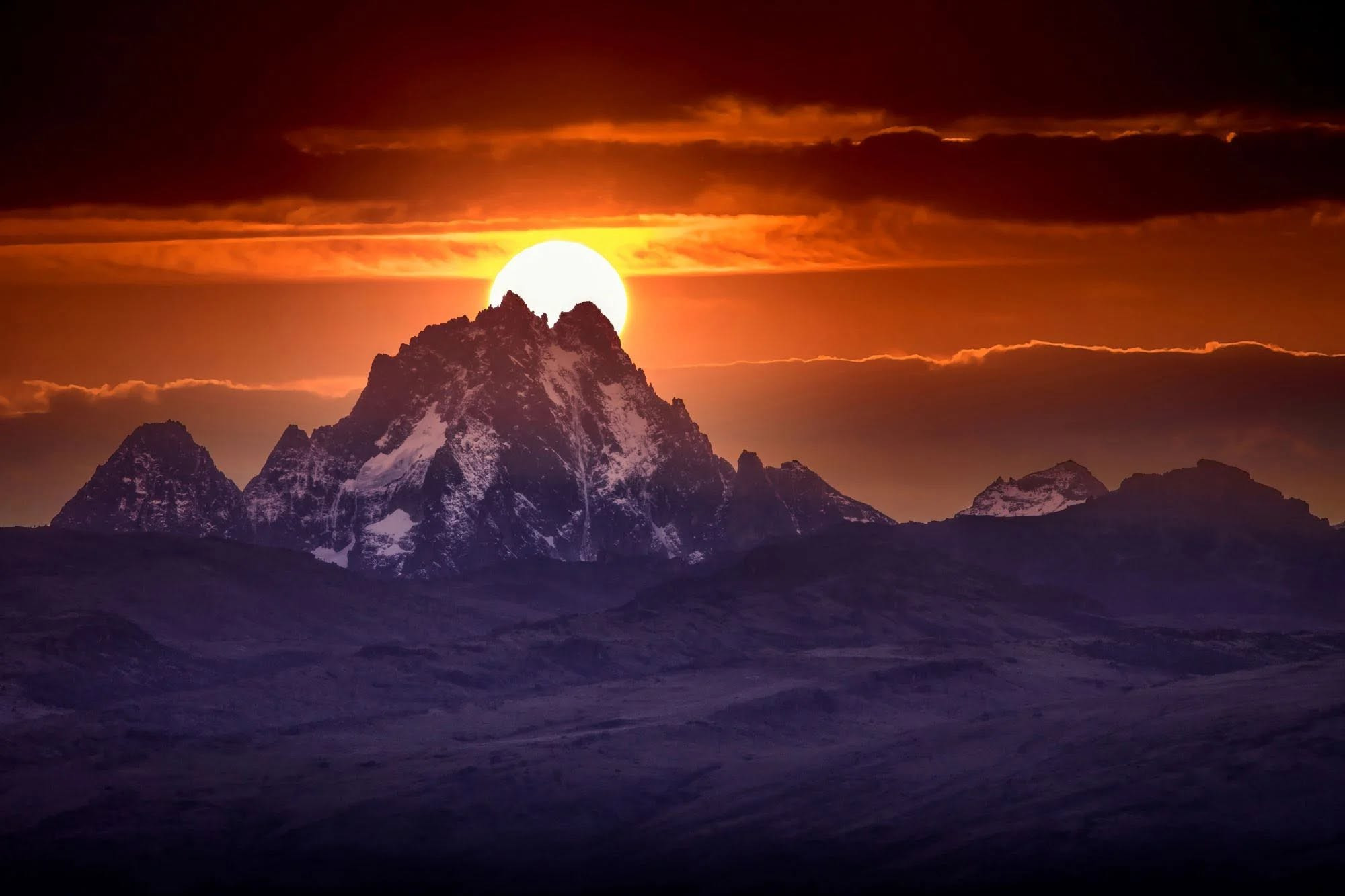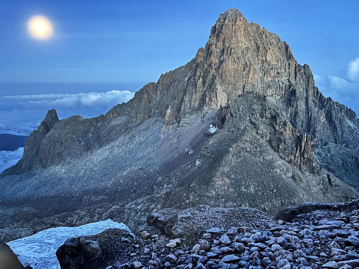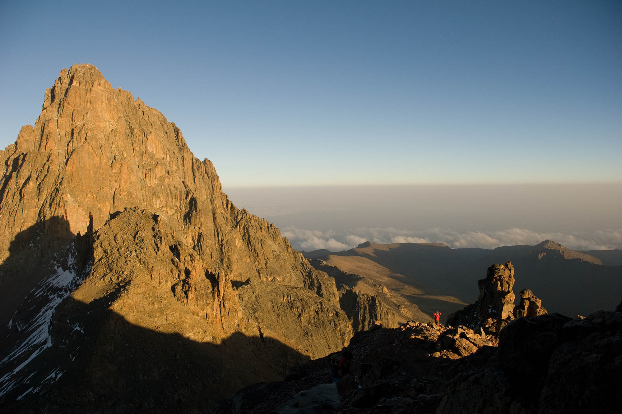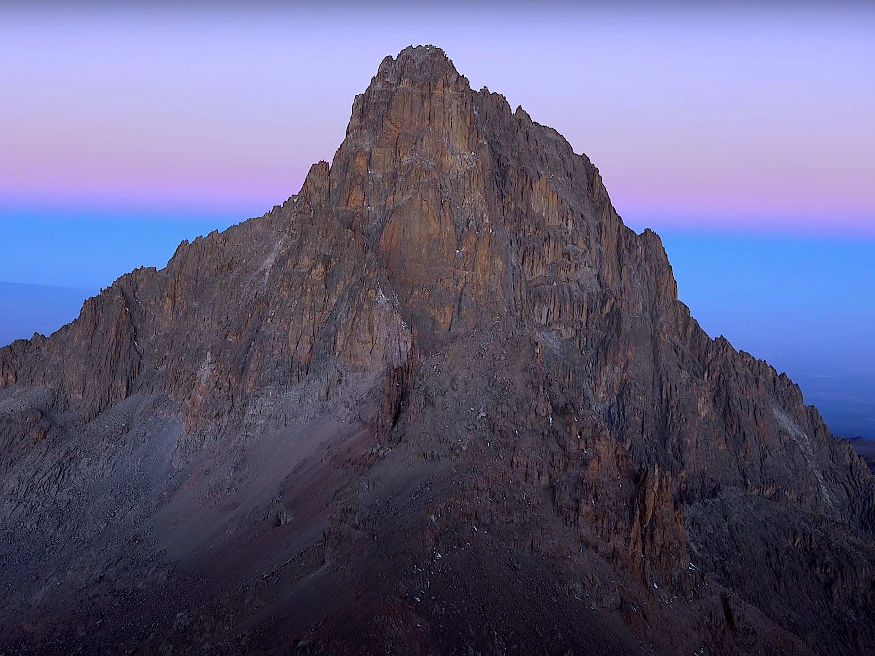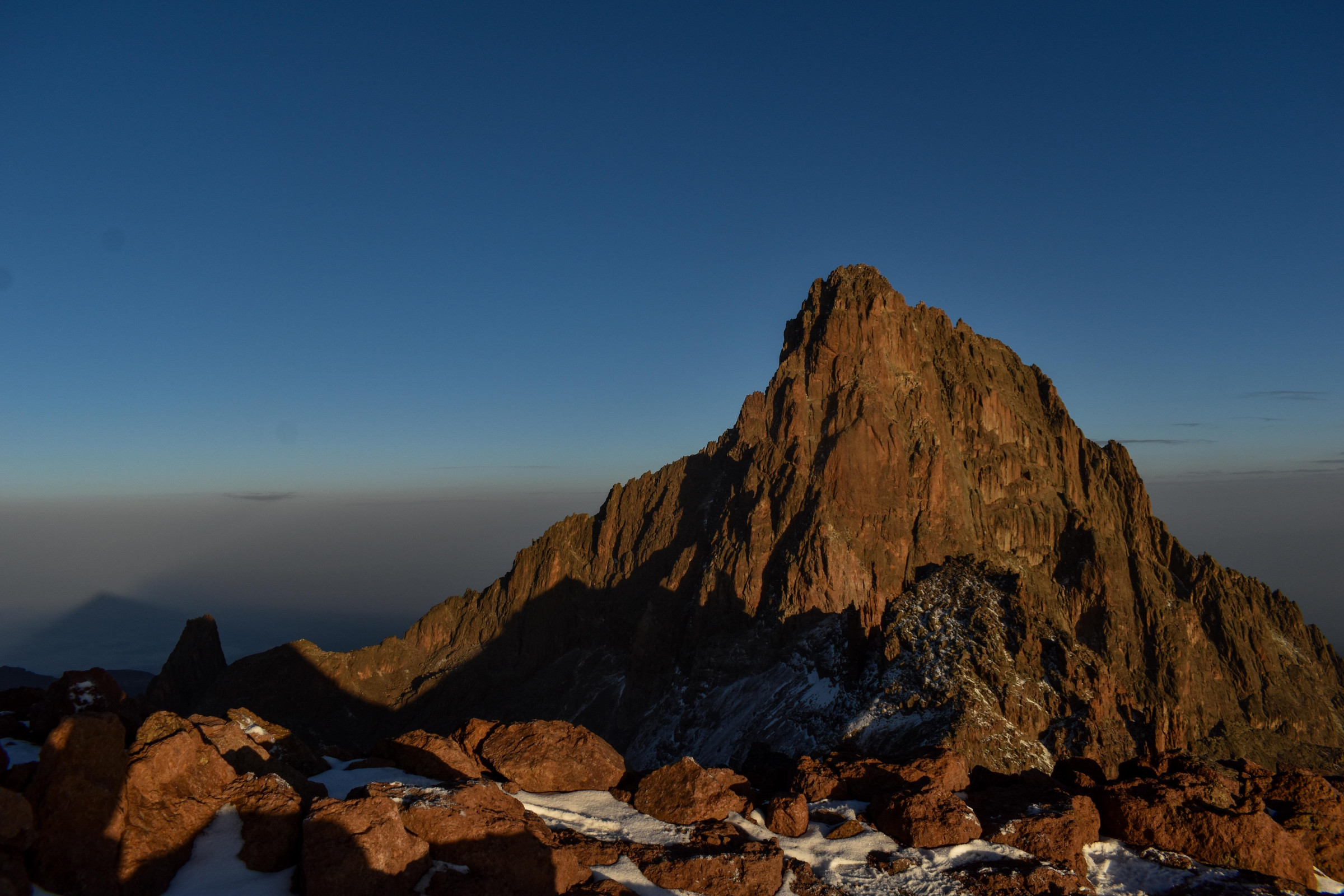
Mount Kenya rises to 5,199 meters at its highest point, Batian, making it the second-tallest mountain in Africa after Kilimanjaro, though unlike its more famous neighbor to the south, Mount Kenya is a genuinely technical climb at its true summit, requiring rock and ice climbing skills rather than simply sustained trekking. The mountain sits almost exactly on the equator, yet its upper slopes carry glaciers and permanent snow, a striking contrast that has fascinated geographers and climbers since European expeditions first documented the peak in the 19th century.
An extinct stratovolcano, Mount Kenya last erupted roughly 2.6 to 3.1 million years ago, and subsequent glacial erosion has carved its once-symmetrical volcanic cone into a jagged, multi-peaked massif, with Batian and its sister peak Nelion, separated by a narrow gap called the Gate of the Mists, forming the mountain's dramatic rocky summit block visible from great distances across the surrounding Kenyan highlands.
While Batian and Nelion demand serious technical mountaineering experience, the third-highest peak, Point Lenana at 4,985 meters, is reachable via a demanding but non-technical trek, making it the goal for the vast majority of visitors attempting Mount Kenya rather than the true summit. Several established routes, including the Sirimon, Chogoria, and Naro Moru paths, wind through distinct ecological zones on the way up, offering considerably more scenic variety across a single climb than many other major African peaks.
Because Point Lenana still sits at nearly 5,000 meters, altitude sickness remains a genuine risk, and most reputable trekking itineraries build in multiple acclimatization days, treating the mountain with the same seriousness as considerably higher peaks elsewhere despite Point Lenana's non-technical trekking status.
Mount Kenya's slopes pass through a remarkably compressed sequence of ecological zones as elevation increases, beginning with dense montane forest supporting elephants and buffalo at lower altitudes, transitioning through bamboo forest and heath zones, and finally reaching the surreal Afro-alpine moorland near the summit, dominated by giant lobelia and groundsel plants that grow nowhere else in comparable form outside East Africa's high equatorial mountains.
These giant rosette plants, some towering several meters tall despite belonging to plant families that are typically low-growing shrubs elsewhere in the world, evolved their unusual size and structure specifically to survive the mountain's extreme daily temperature swings, near-freezing nights followed by intense equatorial sun each day, a phenomenon botanists sometimes call "summer every day, winter every night."
Mount Kenya holds deep spiritual significance for the Kikuyu people, Kenya's largest ethnic group, whose traditional beliefs hold the mountain as the sacred dwelling place of Ngai, the Kikuyu supreme deity, with traditional homes historically built facing the mountain in recognition of its spiritual importance. This reverence predates any colonial-era mapping or mountaineering history and continues to shape how many Kikuyu communities relate to the mountain today, even as tourism and mountaineering have become significant economic activities on its lower slopes.
The mountain, and the country of Kenya itself, both derive their name from Kikuyu and related terms describing the peak, "Kirinyaga" or similar variants meaning roughly "mountain of brightness" or "mountain of whiteness," a reference to its snow-capped summit that colonial-era mapmakers later anglicized into the country and mountain's modern shared name.
Mount Kenya's glaciers, among the few remaining in Africa alongside those on Kilimanjaro and the Rwenzori Mountains, have retreated dramatically over the past century, with scientific surveys estimating that the mountain has lost more than 90 percent of its glacial ice since the early 1900s due to rising temperatures. Several glaciers that existed within living memory of early 20th-century climbers have now disappeared entirely, and researchers project the mountain's remaining ice could vanish completely within the coming decades if current warming trends continue.
This rapid glacial loss has become a frequently cited example in climate science discussions of how equatorial mountain ecosystems, despite their tropical latitude, remain acutely vulnerable to global temperature rise, with consequences extending beyond the ice itself to the specialized alpine plant and animal communities that depend on the cold, moisture-rich conditions glaciers help sustain.
Mount Kenya National Park, established in 1949 and later expanded to include surrounding forest reserve land, protects the mountain's full ecological range from dense lower forest to barren alpine summit, and was inscribed as a UNESCO World Heritage Site in 1997 in recognition of both its striking scenery and its unusual afro-alpine plant communities. The park plays a critical hydrological role as well, feeding rivers that supply water to a significant portion of central Kenya's agricultural land and, ultimately, the Tana River, Kenya's longest river.
Wildlife within the lower forest zones includes elephants, black rhinos, buffalo, and several primate species, giving Mount Kenya a broader ecological identity beyond its climbing reputation, closer in some respects to a vertical safari than a purely mountaineering destination.
Most trekkers reach Point Lenana over a four to five-day itinerary, ascending via one route and descending via another for maximum scenic variety, typically arranged through licensed local guiding companies given park regulations requiring registered guides for summit attempts. Nairobi, roughly a two to three-hour drive from the mountain's main trailheads, serves as the practical starting point for almost all climbing logistics and permit arrangements.
Because of the mountain's genuine altitude and unpredictable equatorial mountain weather, proper cold-weather gear remains essential even though Mount Kenya sits almost exactly on the equator, a detail that catches some first-time visitors off guard when packing for what they assume will be a purely tropical climbing experience.
Mount Kenya's combination of equatorial location and genuine glaciated summit, sacred cultural significance and colonial-era mapping history, and a climb that passes through five distinct ecological zones in a matter of days makes it one of Africa's most ecologically and culturally layered peaks. Its rapidly retreating ice, meanwhile, gives any current visit an added sense of urgency, a landscape visibly changing within a single human lifetime.
European awareness of Mount Kenya dates to 1849, when German missionary Johann Ludwig Krapf reported seeing snow on a mountain near the equator, a claim initially dismissed by geographers in Europe as implausible given the location's tropical latitude. It took several more decades and additional expeditions before the scientific community fully accepted that a genuinely glaciated peak existed this close to the equator, and the first confirmed summit of Batian itself was not achieved until 1899, by British geologist Halford Mackinder's expedition.
That early skepticism, followed by the mountain's eventual confirmation as a legitimate glaciated peak, became a recurring reference point in the history of African exploration, illustrating how thoroughly some 19th-century European assumptions about tropical Africa's geography had to be revised once direct, firsthand expeditions reached mountains like Kenya and Kilimanjaro in person.
No reviews yet. Be the first to share your experience!
Share your experience and help other travelers