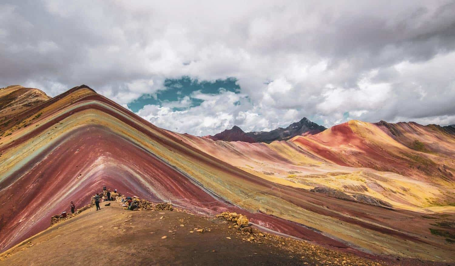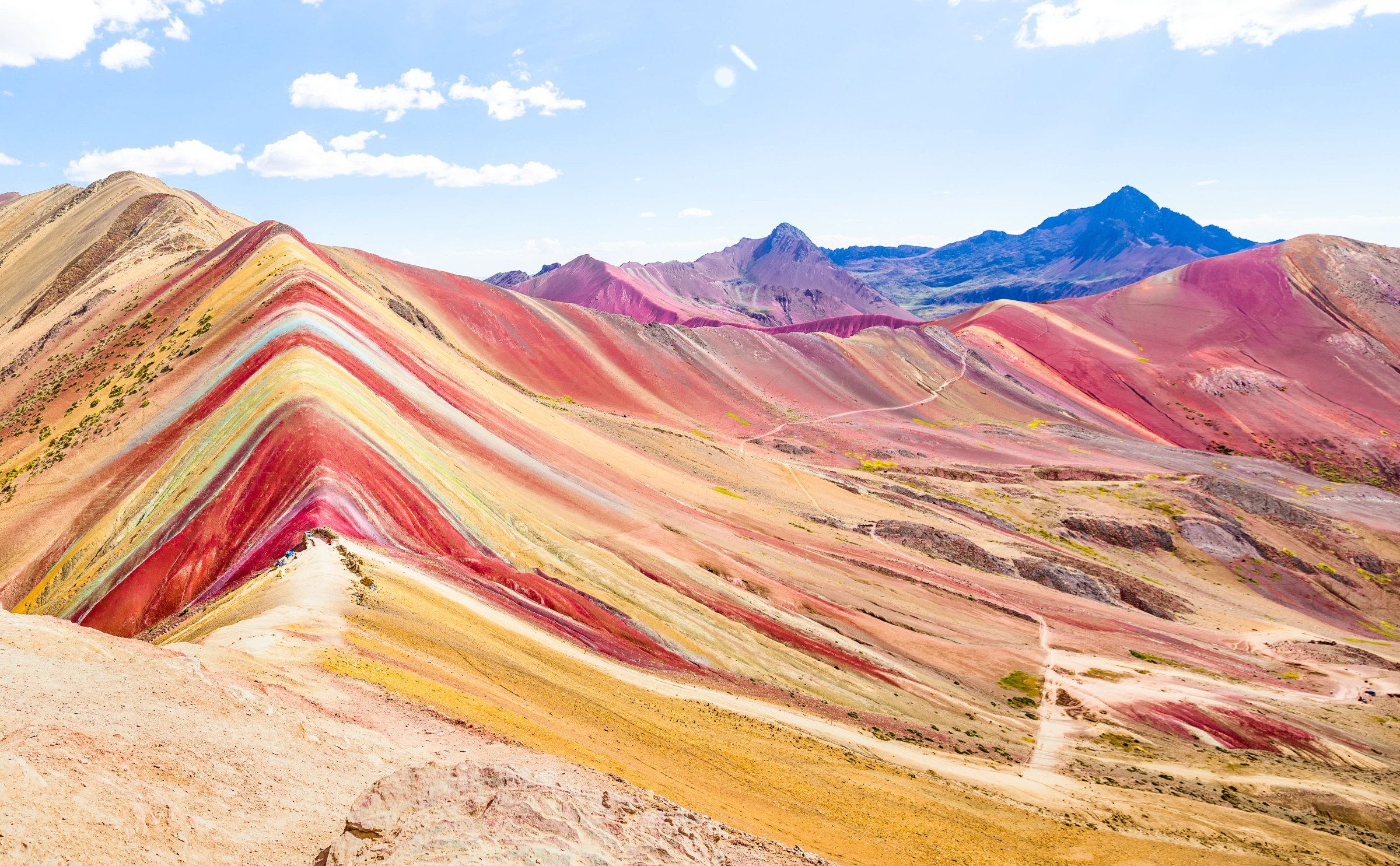
For most of recorded history, Vinicunca looked like any other high Andean peak: grey rock, capped year-round in ice and snow, rising to 5,036 meters in Peru's Cusco region between the districts of Cusipata and Pitumarca. Herders crossed its slopes with alpaca and llama, and almost no one outside the immediate area had reason to notice it. The mountain's now-famous stripes were there the whole time, buried under a glacier that had covered the summit for as long as anyone could remember.
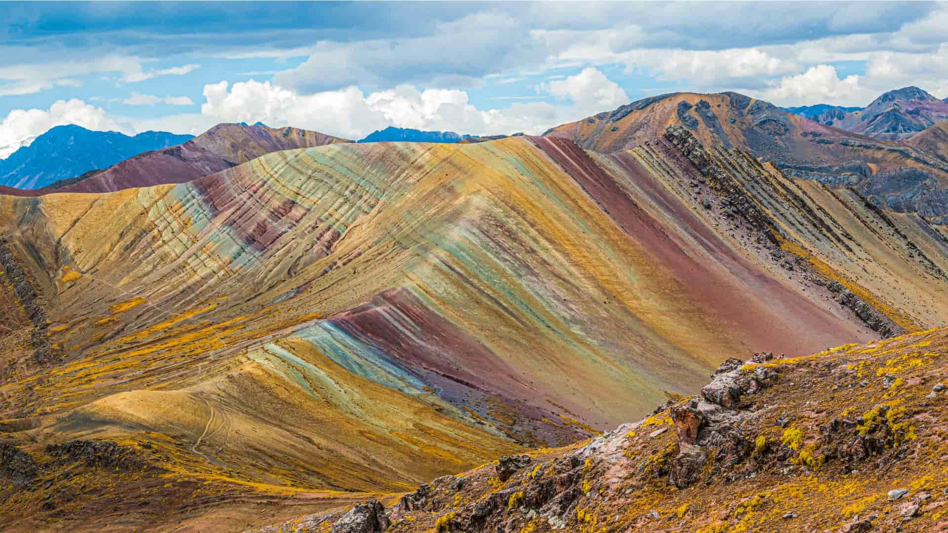
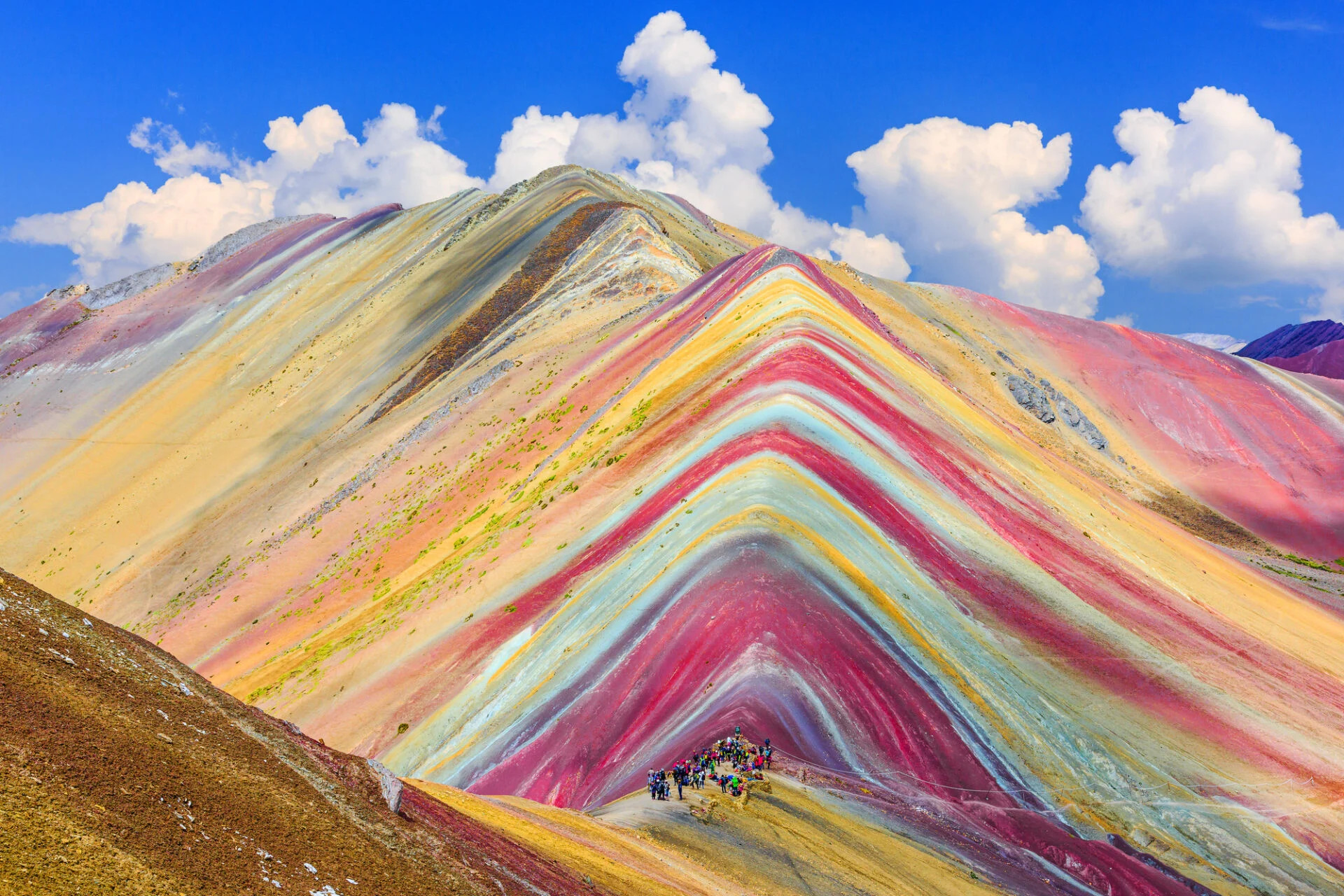
That changed as the glacier retreated. By 2013, warming temperatures had melted away the ice cap that once hid the mountain's upper slopes, exposing bands of color that most visitors initially assumed had been enhanced in photographs. They hadn't been. What emerged was a genuine geological accident: a mountainside whose mineral layers happened to run in vivid, roughly parallel stripes, arranged by nothing more than eons of sediment deposits and now visible for the first time in generations.
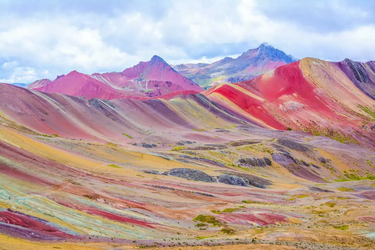
The colors come from the specific minerals in each exposed layer. Pink bands are colored by a mix of red clay, mud, and sand; whitish stripes come from quartz-rich sandstone and marl loaded with calcium carbonate. Reddish tones trace back to iron-rich claystone, greens to phyllite, browns to a coarse sedimentary rock called fanglomerate, and mustard-yellow bands to calcareous sandstone carrying sulfurous minerals. None of it was arranged by design — the mountain is, in effect, a cross-section of tens of millions of years of sediment, tilted upward by the same tectonic forces that built the Andes, then finally uncovered by a melting glacier.
Word of the exposed mountain spread quickly once photographs started circulating, and by the mid-2010s Vinicunca had gone from an obscure herding route to one of the most visited hikes in Peru. The attention brought an unexpected threat: in 2015, a Canadian-backed mining company filed a petition to extract mineral deposits — the same red clay beds responsible for the mountain's color — across 400 hectares around the peak. Local and international pressure built for years before the company renounced the concession in May 2018. Peru's government followed with a 12-month mining moratorium later that year, and by 2019 the area had been formally protected as the Ausangate Regional Conservation Area, closing the door on further mining claims.
Getting to Rainbow Mountain still takes effort. Most visitors leave Cusco in the middle of the night, driving roughly two hours to the trailhead near Pitumarca before a 3-to-4-hour hike covering about 7 kilometers, much of it above 4,500 meters. Horses are available to cover the gentler stretches, but the final, steepest section has to be climbed on foot. At this altitude, acclimatization matters more than fitness: doctors and local guides alike recommend spending a day or two in Cusco beforehand, staying hydrated, and treating any dizziness or nausea seriously rather than pushing through it. The dry season, from April to October, offers the most reliable weather; the rest of the year brings rain that turns to snow at altitude, sometimes burying the very stripes people came to see.
No reviews yet. Be the first to share your experience!
Share your experience and help other travelers