High on Bolivia's Altiplano, at 3,656 meters above sea level, sits the largest salt flat on Earth — a blinding white expanse of 10,582 square kilometers, roughly the size of a small country, where the horizon disappears into a flat, featureless white in every direction. It wasn't always dry. The Salar de Uyuni is what's left after a sequence of prehistoric lakes, dating back through the Late Pleistocene, gradually evaporated in a landlocked basin with no outlet to the sea, concentrating dissolved minerals into thick evaporite deposits as the water disappeared.
The most recent of these vanished lakes, known as Lake Coipasa, dried up somewhere between 11,500 and 13,400 years ago, leaving behind the crust of salt that now covers the basin — a layer that in places runs many meters deep, built from repeated cycles of flooding and evaporation stretching back tens of thousands of years before that.
What lies beneath the visible salt crust has become as significant as what's on top of it. Bolivia holds an estimated 22 percent of the world's known lithium resources, and the overwhelming majority of that reserve sits in brine beneath the Salar de Uyuni, at a concentration of roughly 0.3 percent lithium in the trapped saltwater. As global demand for lithium — a critical component in batteries for electric vehicles and renewable energy storage — has surged, the salt flat has become a geopolitically significant resource as much as a natural landmark, with Bolivia's government weighing how, or whether, to develop large-scale extraction without damaging the landscape that also drives a substantial share of regional tourism income.
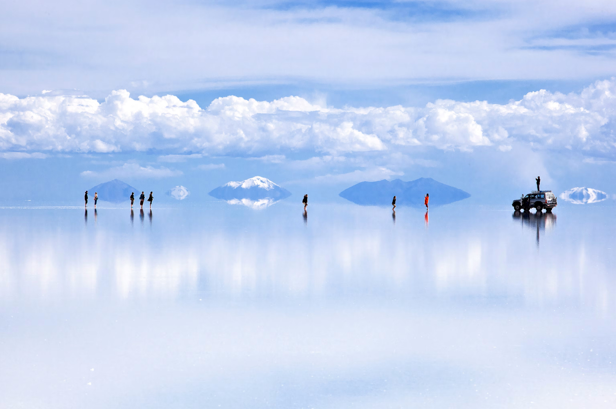
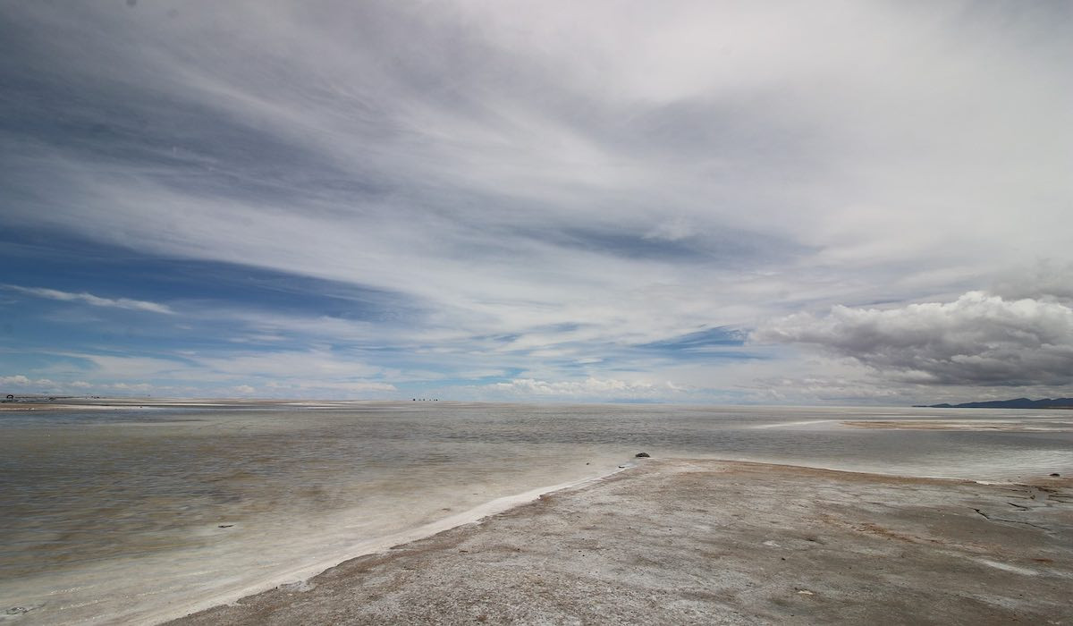
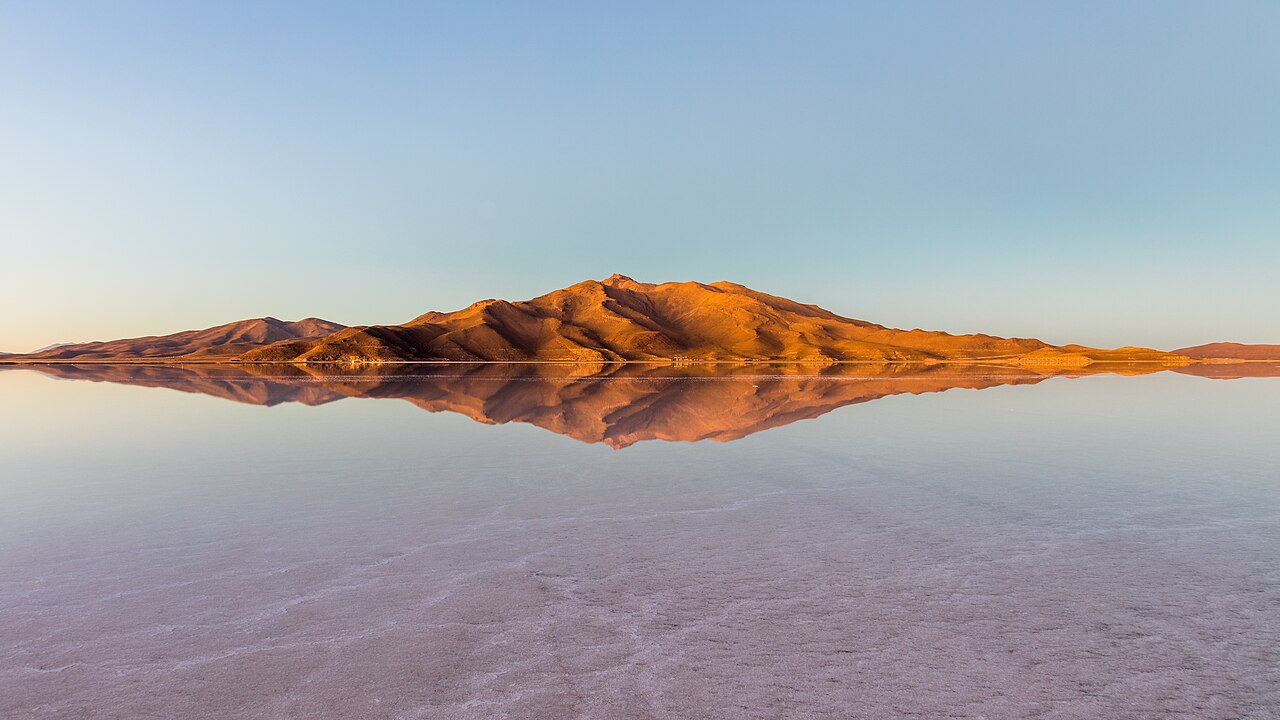
For a few months each year, rain transforms the Salar into something that looks less like a landscape and more like an optical trick. A thin layer of standing water — often just a few centimeters deep — settles across the flat surface during the wet season and, when conditions are calm, becomes still enough to perfectly reflect the sky, mountains, and clouds above it. The result, at its most dramatic, spans up to 129 kilometers across: reportedly the largest mirror on Earth, an effect so complete that photographs from the salt flat during this period often look digitally manipulated even when they aren't.
The mirror effect is strictly seasonal and weather-dependent, appearing most reliably during the rainy season from roughly November through April, peaking December through March — a tradeoff visitors have to weigh against the dry season's very different, but equally striking, appeal.
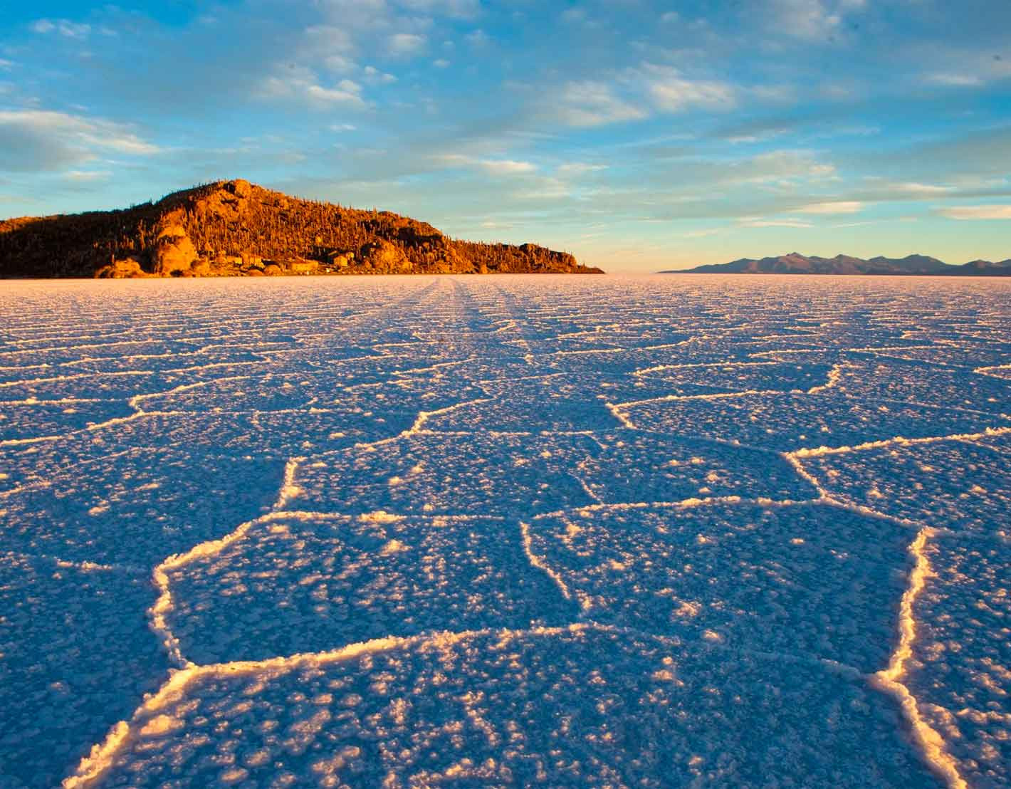
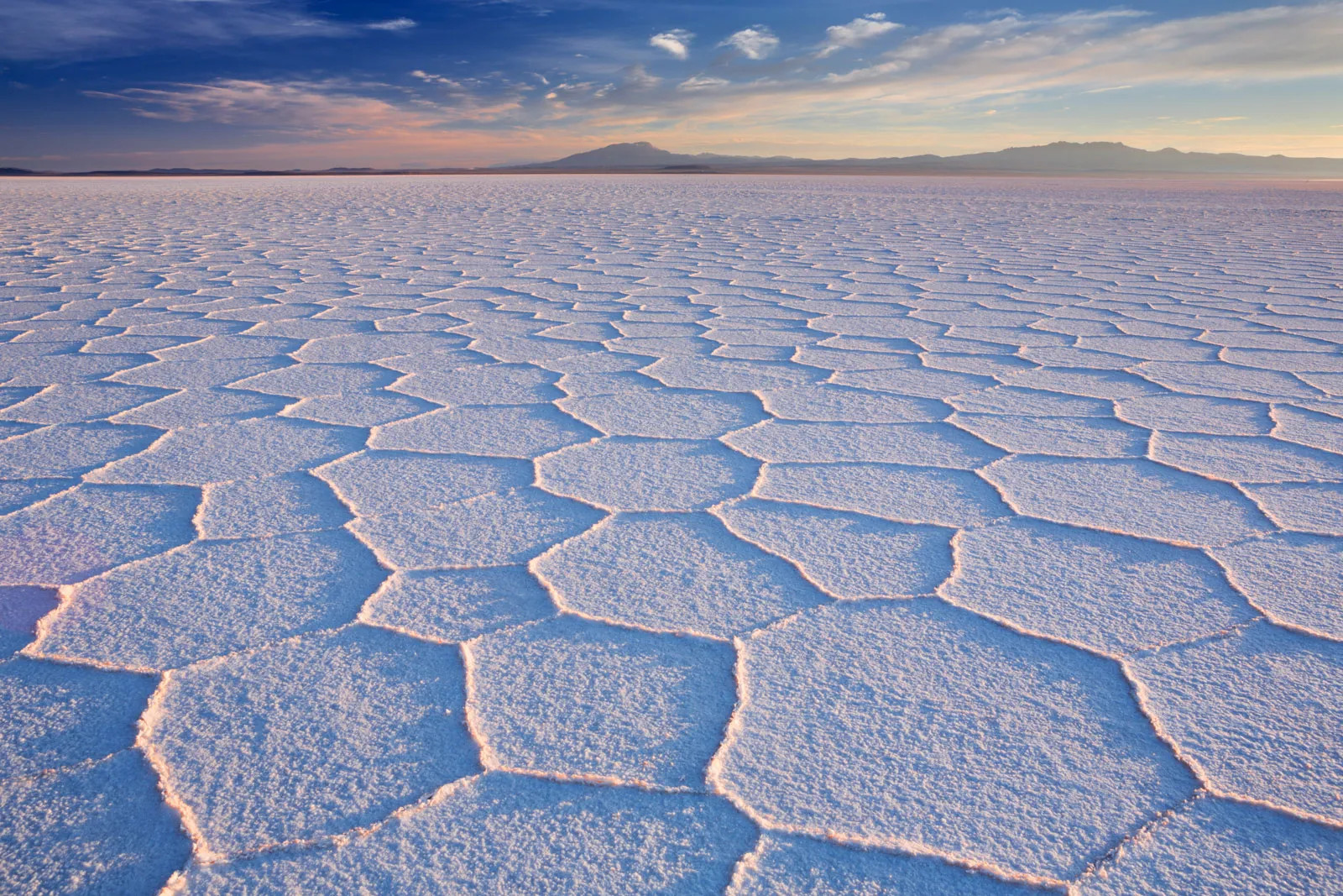
Outside the rainy season, the Salar reverts to its more famous "classic" form: a hard, dry, perfectly flat white crust stretching to the horizon with no reference points at all, a surface so uniform that it famously defeats normal depth perception, letting photographers create forced-perspective images where a person standing a few meters away appears to be climbing out of a bottle or dwarfing a toy dinosaur. Dry season (roughly May through November) also allows vehicles to drive far out onto the flat itself and reach features inaccessible when water covers the surface — including Isla Incahuasi, a hilly outcrop covered in massive cacti that rises from the salt like an island in a white sea, some specimens estimated to be well over a thousand years old.
Night temperatures during the dry season can plunge to around −20°C, a stark contrast to the flat's blinding daytime brightness, and a reminder that despite its tropical latitude, the Altiplano's extreme elevation makes this one of the coldest inhabited landscapes in South America.
Despite its harsh, mineral-saturated conditions, the wider Salar de Uyuni region supports a surprising density of wildlife, particularly around its edges and the mineral-rich lagoons scattered across the surrounding Altiplano. Every November, three flamingo species — Chilean, Andean, and the rarer James's flamingo — gather to breed, feeding on the brine shrimp and algae that thrive in the salty, mineral-heavy water despite conditions that would be lethal to most other organisms. Roughly 80 other bird species have also been recorded across the wider salt flat ecosystem, making the Salar considerably more biologically active than its stark, seemingly lifeless surface suggests.
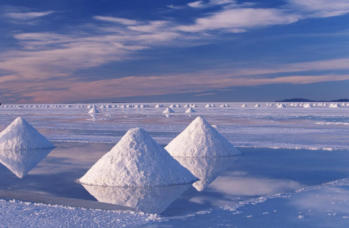
Locals have used the Salar's most abundant resource — salt itself — as a building material for generations, and the region's hotels have leaned into that tradition as a tourist draw in its own right. The Palacio de Sal, built almost entirely from salt blocks harvested from the flat, was originally constructed between 1993 and 1995 directly on the salar's surface, before environmental concerns about waste and water contamination prompted its relocation around 2007 to the eastern edge, roughly 25 kilometers from the town of Uyuni — a compromise that let the novelty of a salt-block hotel continue without leaving permanent infrastructure on the flat itself.
Most visitors reach the salt flat via the town of Uyuni, either overland from La Paz on an overnight bus — roughly 10 to 12 hours, with operators like Todo Turismo offering reclining seats and meals for around $43 USD one way — or by a roughly one-hour flight from La Paz's El Alto International Airport to Uyuni's Joya Andina Airport, priced around $125–130 USD one way but faster and more weather-dependent than the bus.
From Uyuni, tours range from a single day (around $59, covering the Train Cemetery, Isla Incahuasi, and sunset on the salt) to the more popular three-day, two-night circuit through the colored lagoons and salt hotels of the wider Altiplano, up to four-day trips crossing the border into San Pedro de Atacama, Chile. Travelers chasing the mirror effect should plan for the rainy season (peak December–March); those who want the classic flat white horizon and full vehicle access should aim for the dry season (May–November) instead — the two experiences are different enough that it's worth deciding which one matters more before booking.
No reviews yet. Be the first to share your experience!
Share your experience and help other travelers