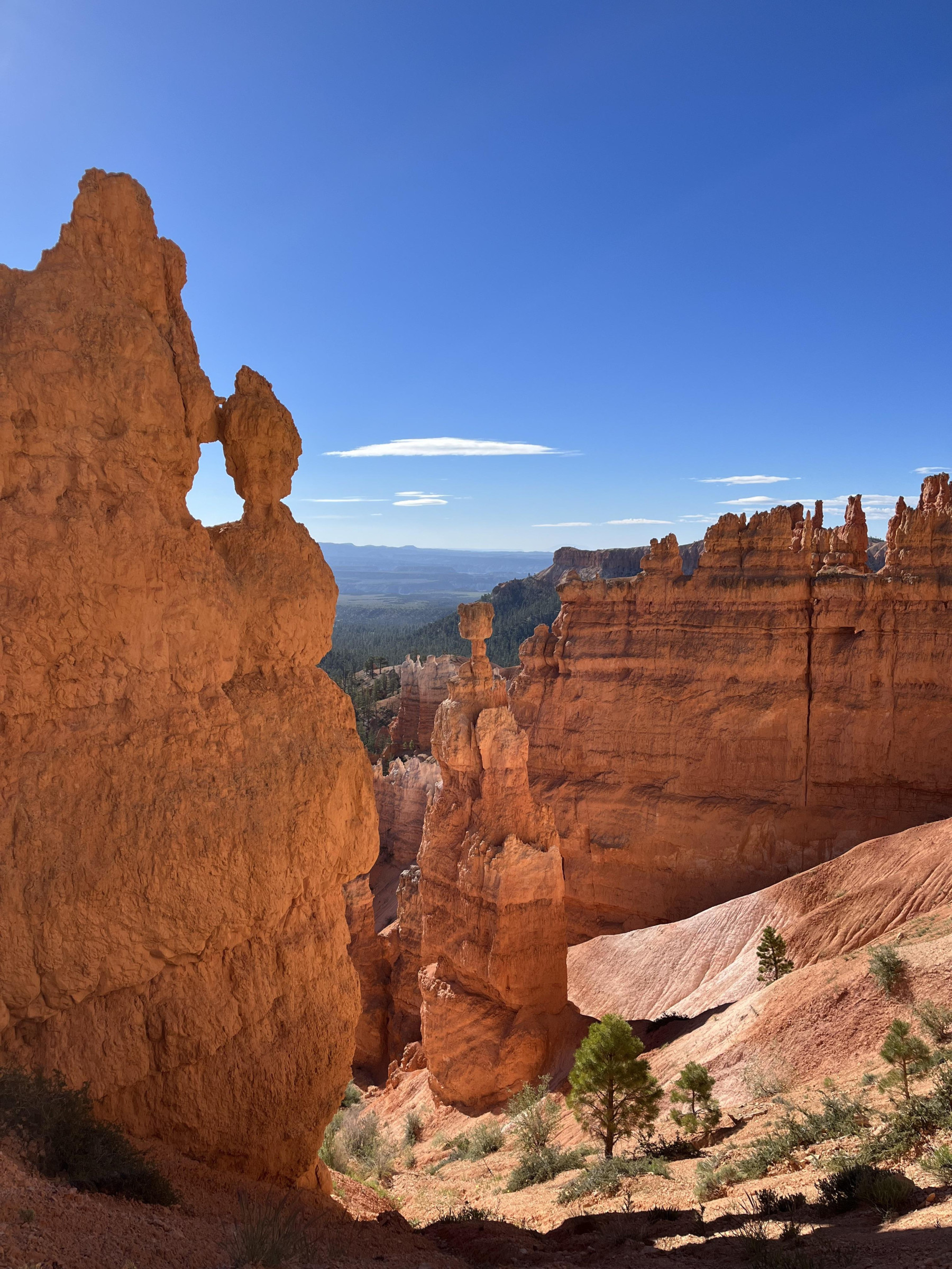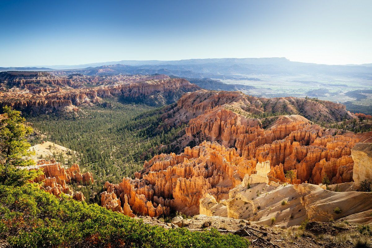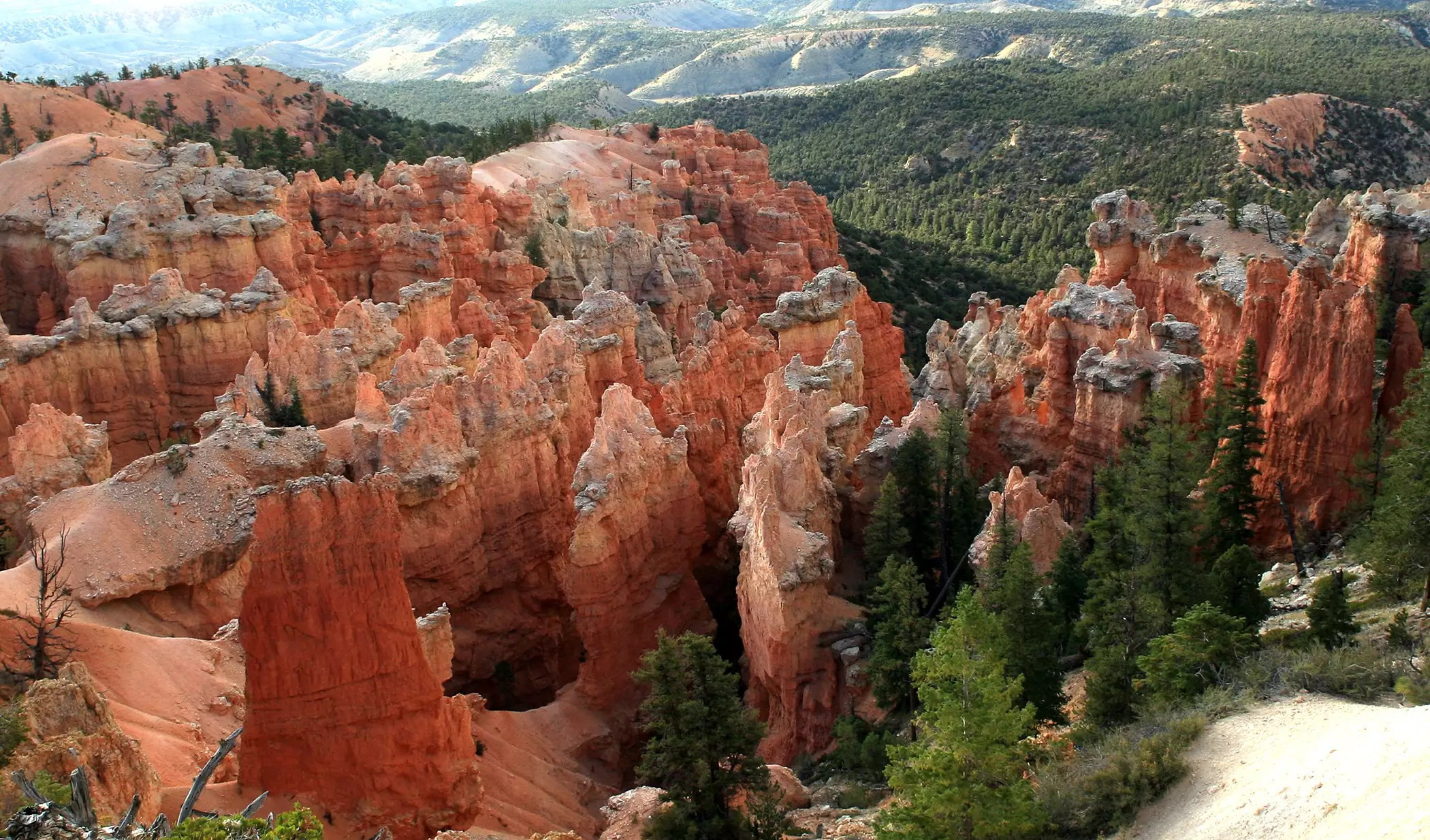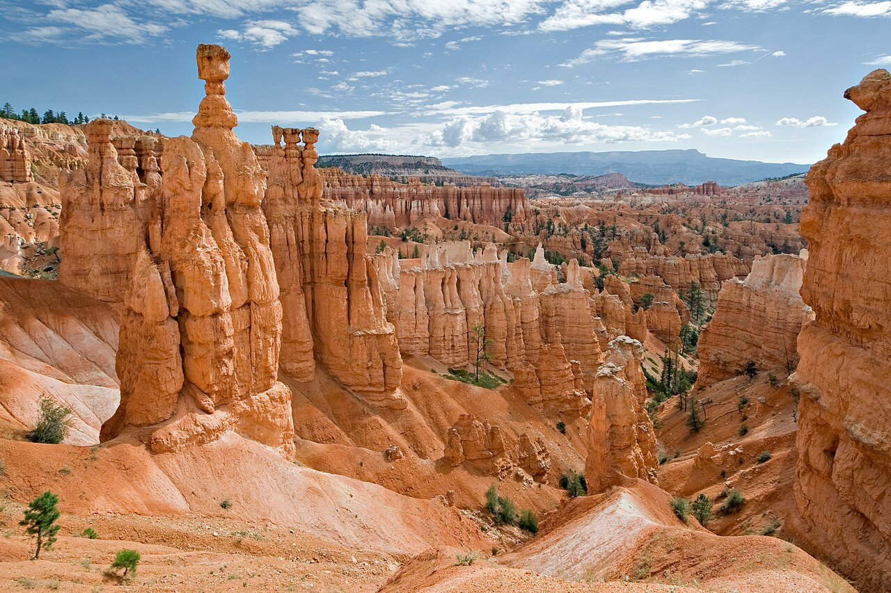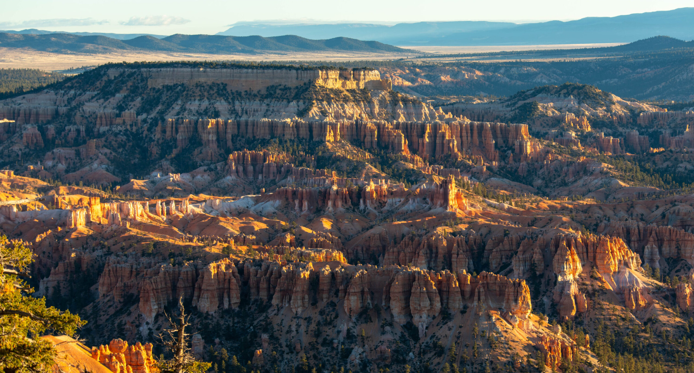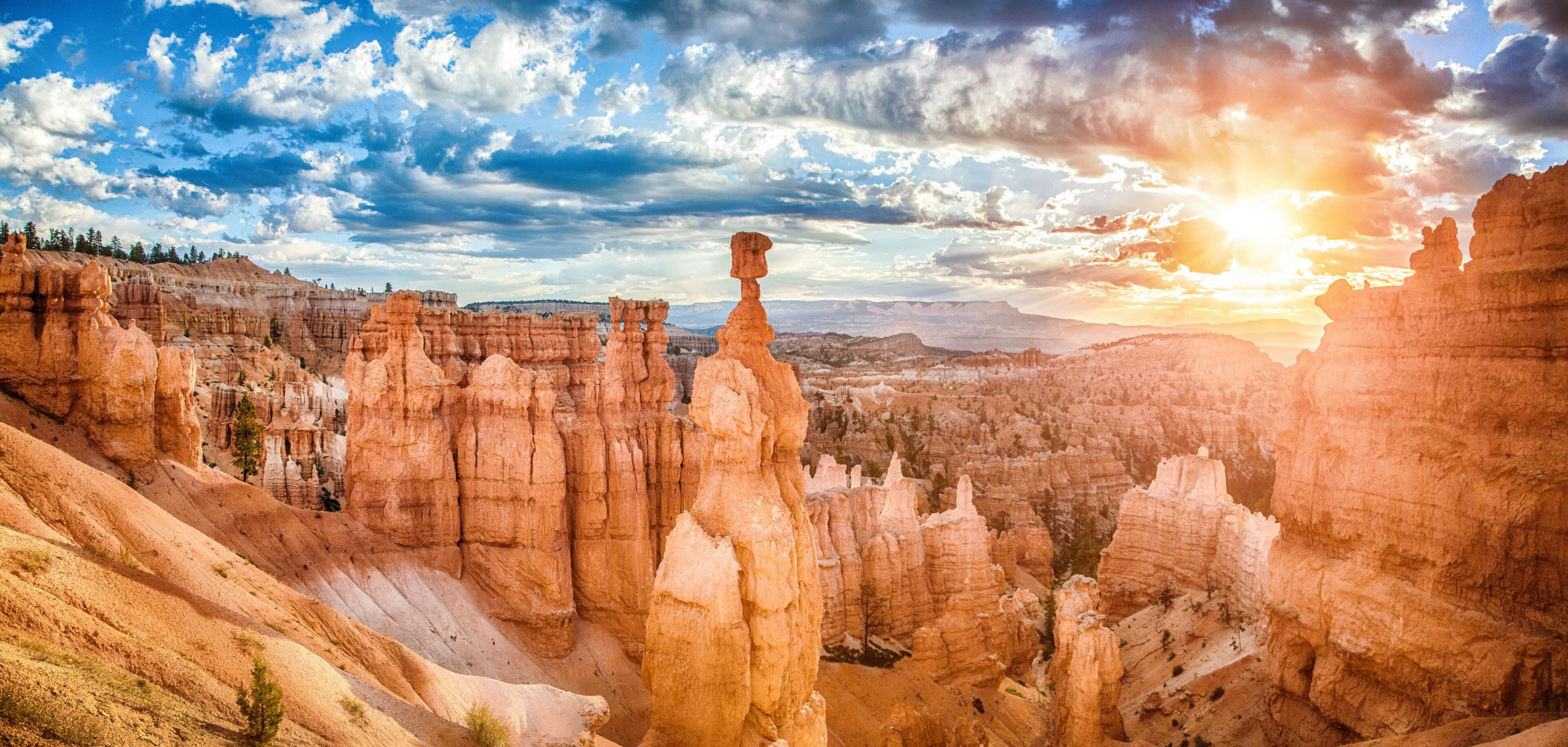
Despite its name, Bryce Canyon is not a true canyon in the geological sense, since it was not carved by a single river cutting through rock. Instead, this stretch of southwestern Utah, spread across Garfield and Kane counties along the edge of the Paunsaugunt Plateau, consists of a series of natural amphitheaters, giant bowl-shaped depressions eroded into the plateau's eastern rim by frost and rain rather than by flowing water. The largest and most visited of these, Bryce Amphitheater, stretches roughly 19 kilometers long, 5 kilometers wide, and up to 240 meters deep, and it is here that the park's defining feature crowds together in a density found almost nowhere else on Earth: thousands of narrow, colorful rock spires known as hoodoos, some rising as tall as 60 meters, packed so closely along the amphitheater walls that from the rim they resemble a frozen, silent city of towers rather than a natural landscape at all.
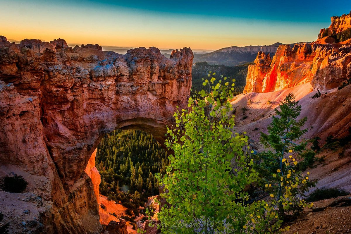
The hoodoos of Bryce Canyon owe their shape to a process called frost wedging, in which water seeps into cracks in the rock during the day and then freezes and expands overnight, gradually widening those cracks over the roughly 200 or more freeze-thaw cycles the plateau experiences in an average year, a rate far higher than most of the American Southwest. Combined with the mildly acidic rainwater that slowly dissolves the sedimentary limestone of the Claron Formation, this freeze-thaw action has sculpted the amphitheater walls into narrow fins, and then further isolated those fins into the freestanding spires visitors see today. The hoodoos' striking colors, ranging through reds, oranges, pinks, and whites often within a single spire, come from varying concentrations of iron oxide, iron hydroxide, and manganese oxide in the rock layers, with the most iron-rich layers producing the deepest reds and the purer limestone layers weathering to near-white, a banding effect most visible at sunrise and sunset when low-angle light intensifies the color contrast across the amphitheater.
Bryce Canyon sits within a much larger regional geological sequence known as the Grand Staircase, an enormous stack of exposed sedimentary rock layers stepping down in elevation and forward in geological age from Bryce in the north through Zion National Park and on to the Grand Canyon in the south, together spanning hundreds of millions of years of Earth's history in a single, walkable cross-section. The park's rim sits at an elevation of 8,000 to 9,000 feet, considerably higher than nearby Zion, a difference that gives Bryce Canyon a noticeably cooler climate and, in winter, regular snowfall that dusts the red hoodoos in white, a combination photographers travel specifically to capture. This high elevation position at the top of the Grand Staircase also means Bryce's rock layers, the Claron Formation, are geologically younger than those exposed further south and downstream, having been laid down as sediment in ancient lakes roughly 40 to 60 million years ago before uplift and subsequent erosion carved them into the amphitheaters seen today.
Long before European American settlers arrived, the Paiute people inhabited the region surrounding what is now the park and developed their own detailed mythology to explain the hoodoos, describing them in oral tradition as Legend People, a community of animals and birds turned to stone by the trickster figure Coyote as punishment for bad behavior, their reddish color said to reflect painted faces frozen in the moment of transformation. This origin story, passed down through generations of Paiute storytelling, offered a coherent explanation for a landscape that, even to modern geologists equipped with an understanding of frost wedging and mineral staining, still often looks too orderly and figure-like to be entirely the product of blind erosion. The Paiute name for the amphitheater area, roughly translating to red rocks standing like men in a bowl-shaped canyon, reflects the same visual impression that continues to strike visitors today, arriving at a similar description of the landscape through observation rather than geology.
The park's English name comes from Ebenezer Bryce, a Scottish immigrant and Mormon settler who homesteaded near the amphitheater in 1874 and grazed cattle in the area, a practical rather than scenic relationship with the landscape that produced one of the more famously unromantic descriptions of any American national park. Bryce is reported to have called the amphitheater "a helluva place to lose a cow," a blunt assessment of the terrain's practical hazards for livestock rather than any appreciation of its now-celebrated beauty, and local settlers subsequently began referring to the canyon by his name regardless. The area remained a relatively obscure ranching backwater for decades afterward, and it was not until the early twentieth century, as railroad companies and early conservationists began promoting the wider Utah canyon country to tourists, that Bryce Canyon's scenic value was widely recognized, eventually leading to its designation as a national monument in 1923 and a full national park in 1928.
Bryce Canyon's high elevation, dry air, and remoteness from major cities combine to give it exceptionally dark night skies, a quality formally recognized in 2019 when the park earned International Dark Sky Park status. On clear nights, the park's sky reaches a measured darkness of roughly 7.4 magnitude, among the darkest ratings recorded anywhere in North America, allowing visitors to see an estimated 7,500 stars with the naked eye compared to the handful visible from most urban areas, along with a clearly defined view of the Milky Way arching over the hoodoo-lined rim. The park runs regular astronomy programs and ranger-led night sky events, particularly popular during the summer months, and the amphitheater's silhouetted spires against a star-filled sky have become almost as much a draw for night photographers as the sunrise-lit hoodoos are for daytime visitors, giving Bryce Canyon a reputation as a destination worth experiencing across a full 24-hour cycle rather than a single daytime stop.
Sunrise Point and Sunset Point, both a short walk from the main park road, are the two most popular and accessible overlooks into Bryce Amphitheater, each offering sweeping views over the densest concentration of hoodoos, and despite their names both are worth visiting at multiple times of day as the changing light angle dramatically shifts the color and shadow across the rock spires. For visitors wanting to walk among the hoodoos rather than view them from above, the Navajo Loop and Queen's Garden trails combine into a popular half-day hike that descends directly into the amphitheater floor before climbing back to the rim, offering a completely different sense of scale than the overlooks provide. The park sits roughly 80 kilometers northeast of and 300 meters higher than Zion National Park, making the two a natural pairing for visitors touring southern Utah, with Las Vegas the nearest major airport for international travelers, several hours away by road, and a smaller regional airport in Cedar City offering a somewhat closer, though more limited, alternative.
Unlike sprawling parks such as Yellowstone or Grand Canyon, Bryce Canyon is compact enough that its single main road, running roughly 30 kilometers along the plateau rim to a string of overlooks, can be driven end to end in under two hours, making it unusually accessible for visitors with limited time. This compactness has shaped how the park is typically experienced: rather than committing to a multi-day backcountry itinerary, most visitors follow the rim road from one named overlook to the next, stepping out for a short walk to each viewpoint before continuing on, an approach that suits the park's core appeal since nearly all its famous scenery is concentrated along this single rim rather than scattered across a vast wilderness. For those with more time, the deeper trails into the amphitheater floor reward the extra effort with a far closer, more immersive sense of the hoodoos' scale than any rim overlook can provide, standing directly beneath spires that from above looked like distant miniature towers.
June-September brings the mildest, most reliable weather for hiking; snow is possible even in spring and fall at this high elevation.
See weather details
No reviews yet. Be the first to share your experience!
Share your experience and help other travelers