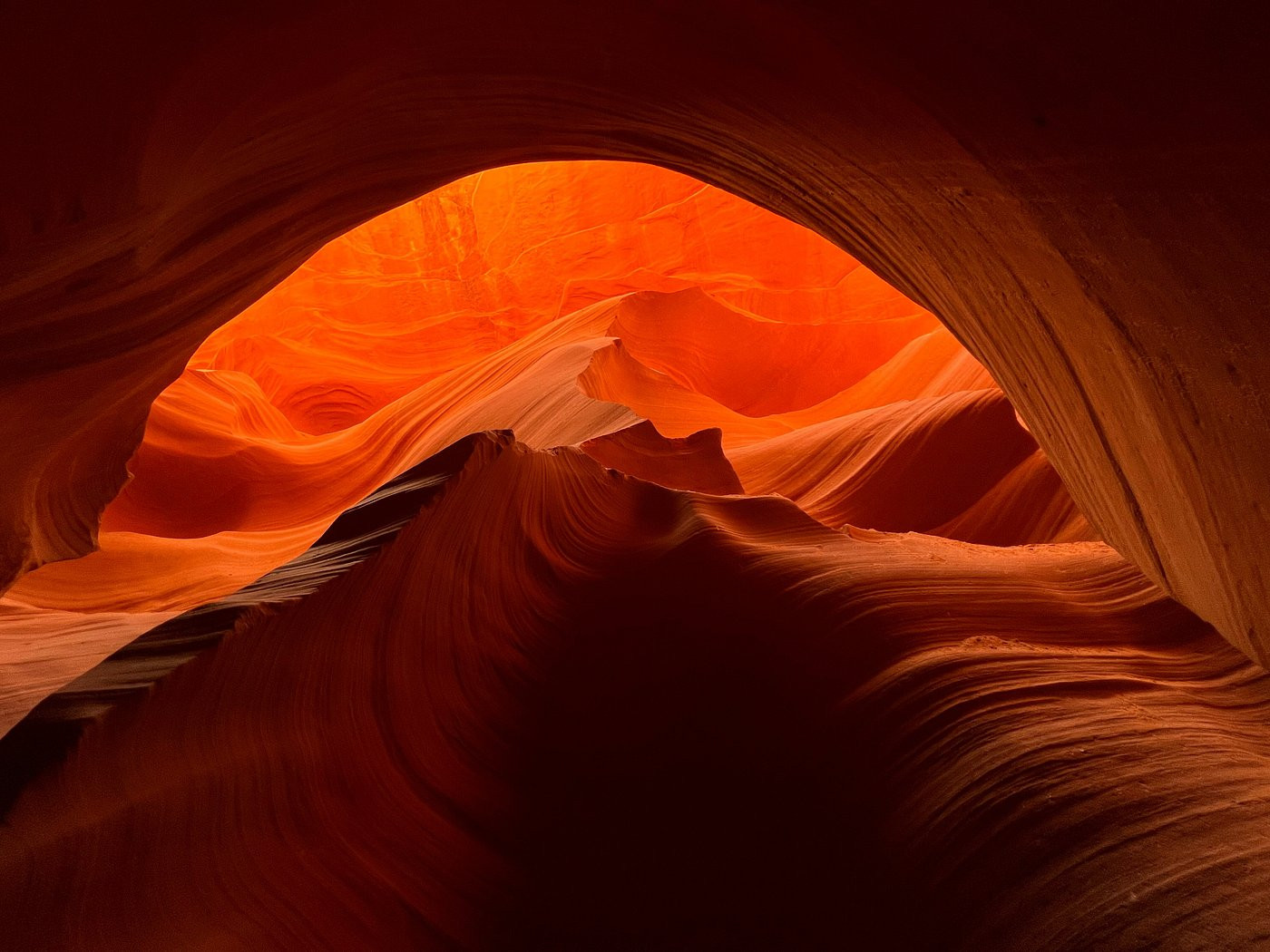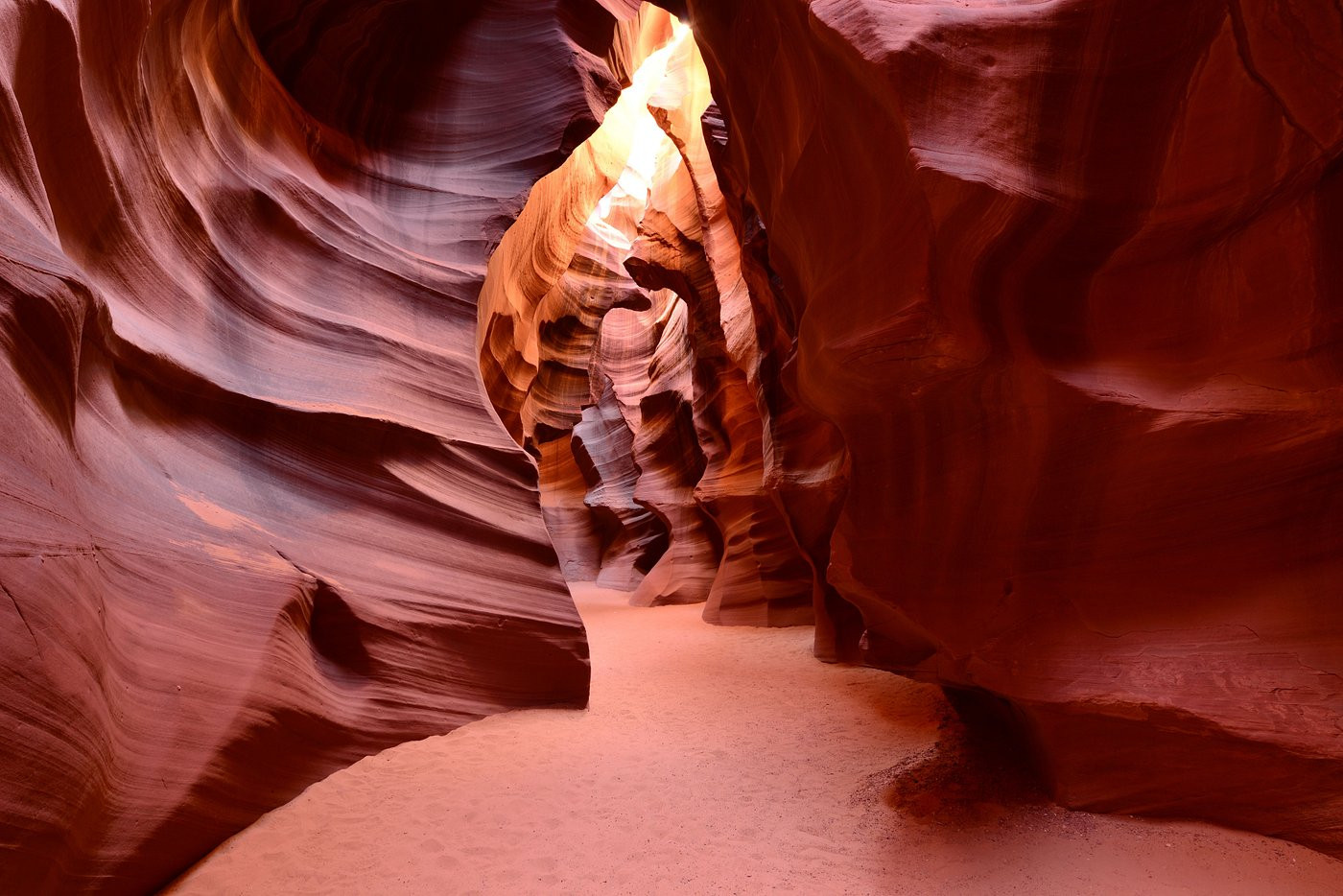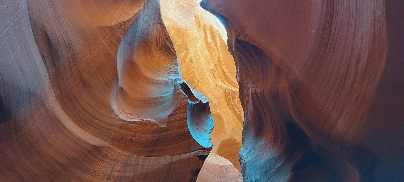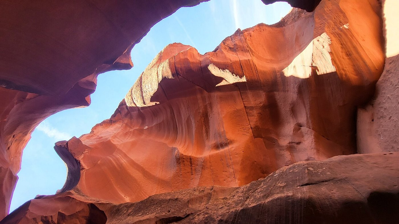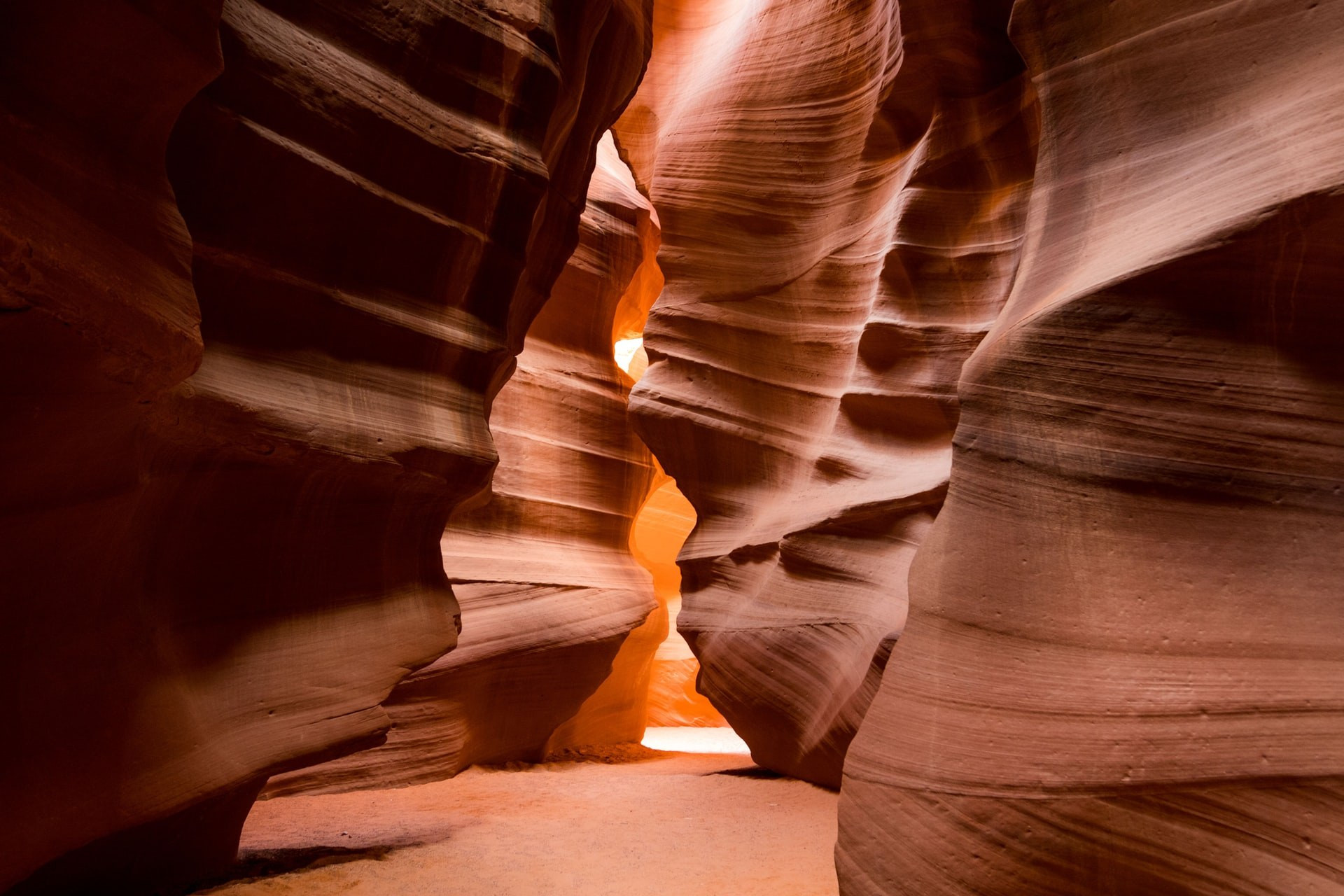
Most of the year, the slot canyons cut into the Navajo Sandstone near Page, Arizona are bone dry, their smooth, undulating walls rising overhead in bands of orange, red, and purple. There's no river running through them, no visible sign of the force that shaped them — which makes it easy to forget that everything about their form was carved by water, just not water that's usually there when visitors walk through.
The sandstone itself is 8 to 60 million years old, laid down as ancient sand dunes and later compressed into rock. What carved the narrow, twisting corridors was flash flooding: monsoon rains falling on a wide basin above the canyon rush downhill, gathering speed and picking up sand and grit as they funnel into the narrow crack in the rock. That sand-laden water acts almost like liquid sandpaper, grinding and smoothing the sandstone into the flowing, wave-like shapes the canyons are famous for — a process that continues today, meaning the canyon's exact form is still, slowly, changing with every significant flood.
What's collectively called Antelope Canyon is really two separate slot canyons on opposite sides of a road, each with a distinct character. Upper Antelope Canyon, known to the Navajo as "the place where water runs through rocks" and nicknamed "The Crack" by guides, runs about 660 feet and is entered and exited at roughly the same ground level, making it the easier, more accessible option — and the site of the canyon's most famous photographs, where shafts of sunlight beam down through narrow openings in the rock overhead, especially around midday in summer.
Lower Antelope Canyon, called "The Corkscrew," is longer at roughly 1,335 feet, narrower in places, and requires descending and climbing a series of steel stairways bolted into the rock — a more physically demanding but often less crowded experience. Both canyons reach depths of around 120 feet from rim to floor at their deepest points, and beyond Lower Canyon's far end, seasonal water levels sometimes allow kayaking or paddleboarding for a mile or two.
Antelope Canyon sits entirely within the Navajo Nation, on land the Navajo consider spiritually significant, and it's managed as Navajo Tribal Park rather than any form of U.S. federal park — a distinction that shapes almost everything about how the site can be visited. There's no self-guided access at all: every visitor enters exclusively through a guided tour operated by Navajo-owned businesses, a rule enforced as much for safety as for cultural protocol.
That guided-only requirement exists for a specific, tragic reason. On August 12, 1997, a flash flood swept through Lower Antelope Canyon after a thunderstorm miles away sent a wall of water through the narrow passage with almost no warning at the canyon floor itself — eleven tourists died, unable to climb out in time. The tragedy fundamentally reshaped how the canyons are managed, leading to the current system of trained Navajo guides who monitor weather conditions upstream and can evacuate visitors quickly if flash flood risk develops, even on days that look clear from inside the canyon itself.
The famous vertical light beams that appear in Upper Antelope Canyon photographs are a narrow seasonal and time-of-day phenomenon, not something visible on every visit. They occur when the sun is high enough in the sky to shine almost straight down through narrow gaps in the canyon's ceiling, which in practice means a window of roughly late March through early October, concentrated around midday — guides typically schedule "photography tours" specifically timed to catch this window, often at a premium price over standard tours.
Even without the beams, the canyon's appeal doesn't really depend on that one effect: the sculpted rock itself, glowing in shifting shades of orange and purple as reflected light bounces between the narrow walls, is dramatic at almost any hour the canyon is open, which is part of why both Upper and Lower sections remain among the most photographed natural sites in the American Southwest despite requiring a paid guide and a fixed tour schedule.
For the Navajo families and guiding companies who operate tours here, Antelope Canyon has become one of the most economically significant tourist sites on the reservation, drawing visitors from across the world to a stretch of high desert that, without the canyon, would see relatively little outside traffic. Guides typically grow up in the area and pass down specific route knowledge, safety judgment, and interpretive storytelling about the canyon's formation and significance that visitors can't access any other way, reinforcing why the guided-tour model persists even as it adds cost and scheduling constraints compared to open-access natural sites elsewhere in the Southwest.
Nearby Lake Powell and the wider Glen Canyon National Recreation Area draw a different, larger crowd, but Antelope Canyon has increasingly become the singular reason many travelers route through Page, Arizona at all — a small town that has grown around tourism to the slot canyons and the lake in roughly equal measure.
Every visit starts in Page, Arizona, where tour operators depart from meeting points in town before driving roughly 20 minutes to the canyon entrance — about half on paved road, half on a bumpy dirt track. Upper Canyon tours run close to two hours including transport; standard adult pricing runs around $90–100 plus a separate Navajo Parks fee, with premium photography-focused tours costing more, especially around midday in the light-beam season.
Reservations are essential and often need to be made well in advance during busy months, since tour group sizes are limited and the most popular time slots sell out. Because both canyons sit in open desert with essentially no shade, visitors are advised to dress for extreme heat in summer, layer up for cold winter mornings, and check the weather forecast for the wider region — not just Page itself — in the days before a visit, since flash flood risk can originate from storms many miles upstream.
Spring and fall bring milder temperatures than summer's 100F+ heat or cold winter mornings - the most comfortable months to visit.
See weather details

No reviews yet. Be the first to share your experience!
Share your experience and help other travelers