The rock walls that make up the Gorges du Verdon started forming long before there was a canyon to speak of. Thick beds of limestone accumulated here during the Triassic and Jurassic periods, laid down in shallow seas over tens of millions of years. Tectonic uplift during the Cretaceous period pushed this limestone platform upward, setting the stage for what came next: as the Quaternary ice ages reshaped the wider landscape, meltwater from retreating glaciers tore into the limestone with a force that current river levels give no hint of — at its peak, discharge through the gorge is estimated to have reached 2,000 to 3,000 cubic meters per second, scouring the riverbed down to the shapes visible today.
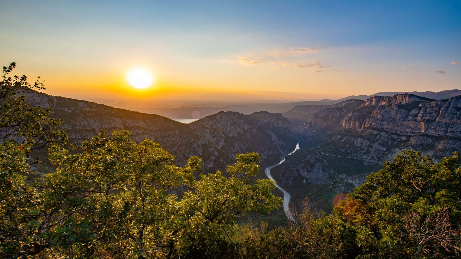
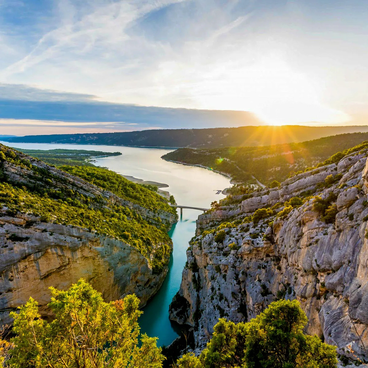
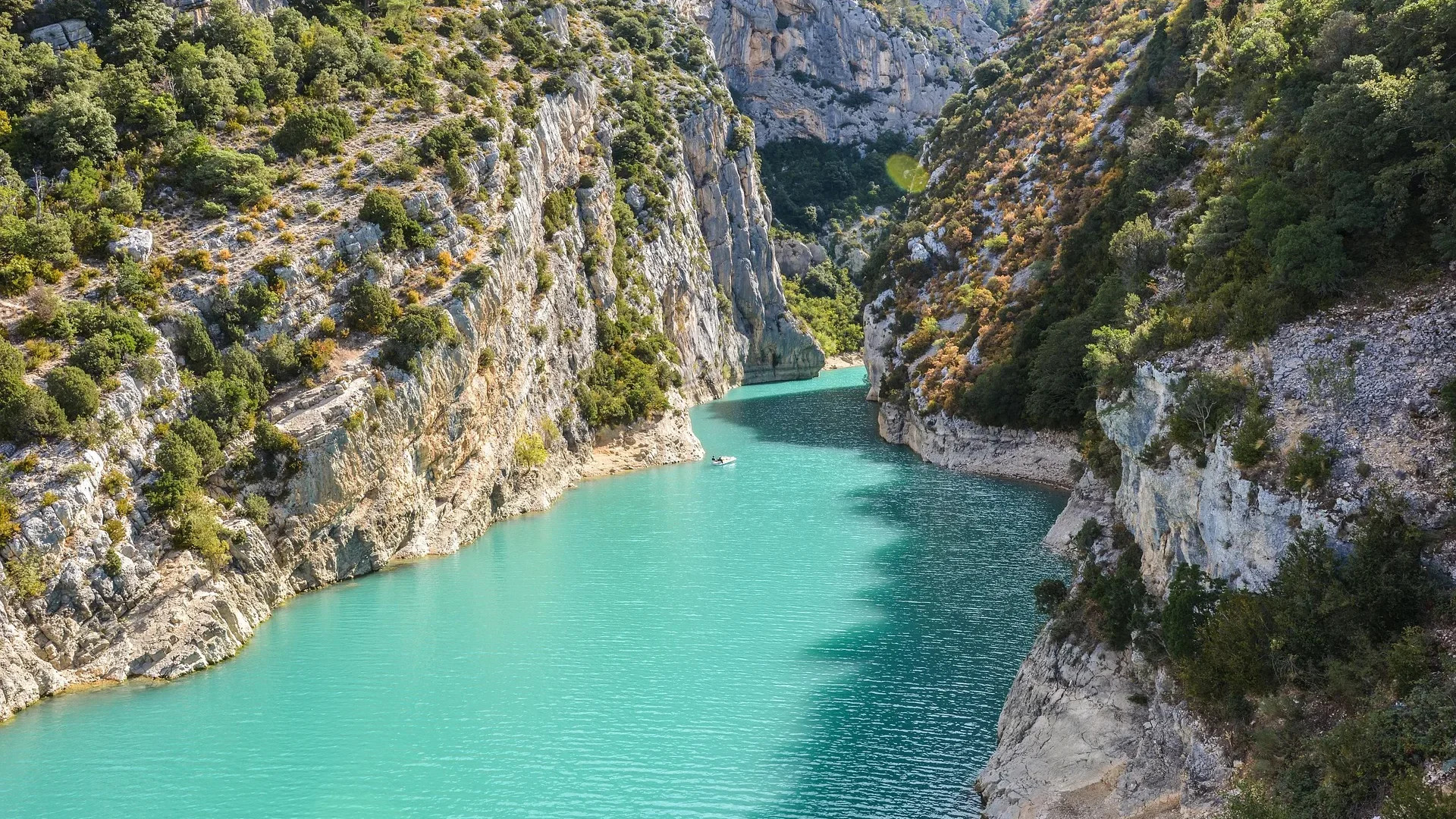
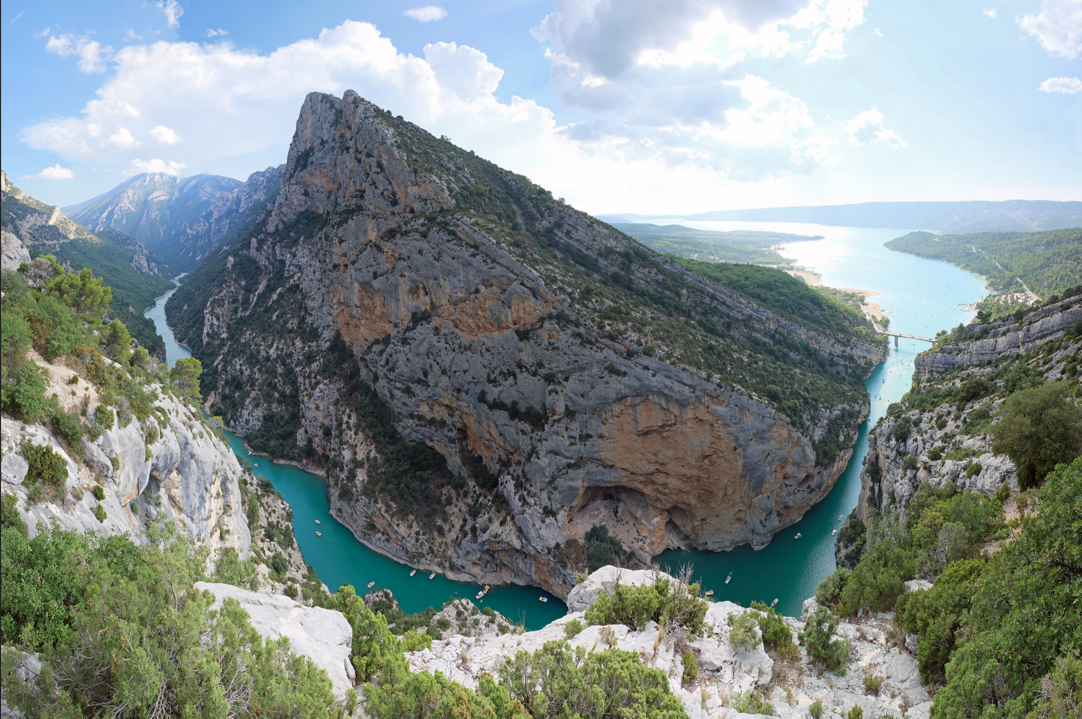
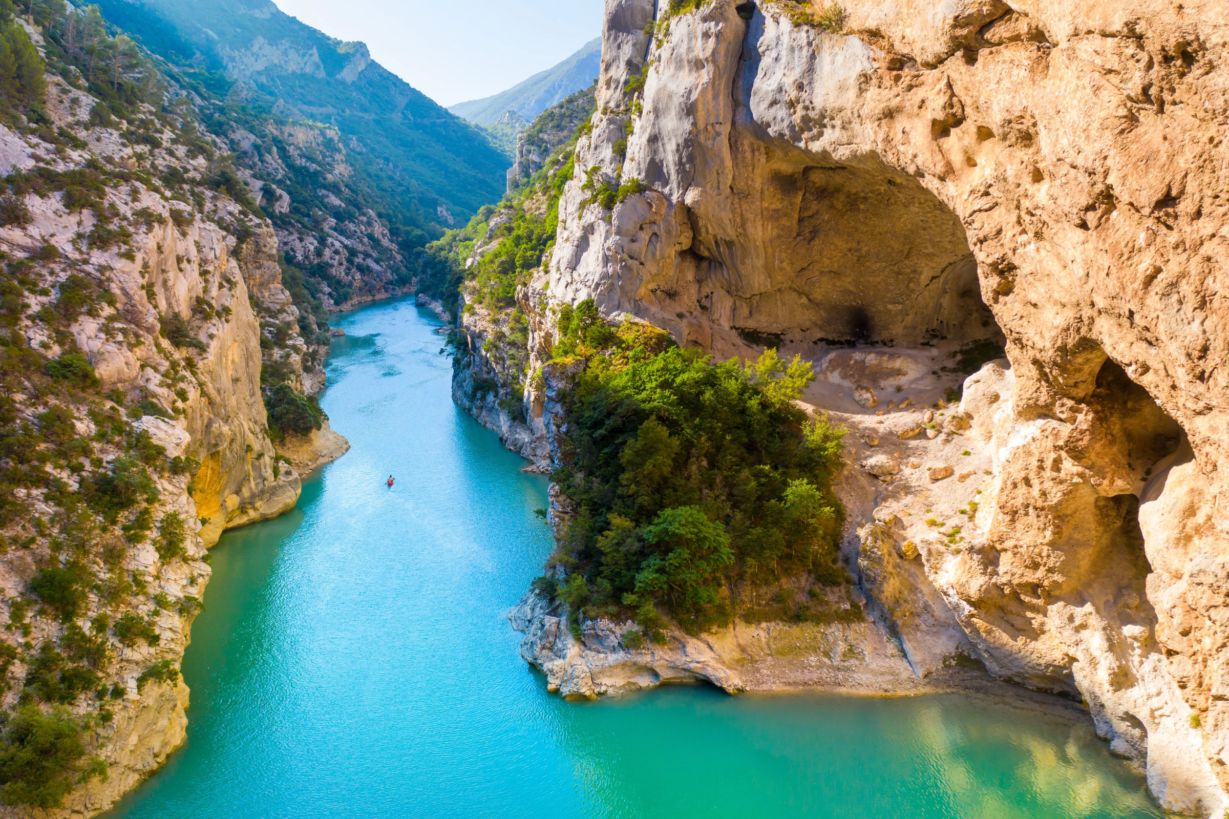
What's left is a canyon roughly 25 kilometers long, cut as much as 700 meters deep, narrowing to as little as 6 meters wide at the waterline while the rim above spreads out to 1,500 meters in places. The Verdon River itself, far calmer now than the floods that carved its bed, still carries the turquoise-green color that gives the gorge its most recognizable feature — a tint caused by glacial mineral sediment, or "rock flour," suspended in the water.
For most of its history, the gorge was known mainly by reputation — a near-inaccessible gash in the Provençal plateau that appears in written accounts as early as 1782 and started showing up in French tourist guides by the mid-19th century, always described from the rim rather than from within. That changed on August 11, 1905, when the speleologist and engineer Édouard-Alfred Martel led the first documented expedition down into the canyon itself, mapping a landscape that had been visible but essentially unexplored. It took more than two decades after Martel's expedition for anyone to complete a full traverse of the gorge; Robert de Joly finally managed it in 1928, working through sections that are still considered demanding by modern hikers with proper gear.
The comparison to the Grand Canyon in the United States gets made constantly, and the gorge has more or less accepted the nickname — Europe's version, on a smaller but still enormous scale. At the canyon's downstream end, the Verdon River now empties into the Lake of Sainte-Croix, an artificial reservoir created by a dam built in the early 1970s. The project came at a cost: the original village of Les Salles-sur-Verdon was demolished in 1973 and now lies beneath the reservoir, replaced by a newly built village of the same name on higher ground nearby.
The whole area is protected today as the Verdon Regional Natural Park, and it draws a different crowd than it did in Martel's time — rock climbers working the limestone faces, hikers and canyoners working through the gorge itself, kayakers and paragliders using the terrain for very different kinds of descent.
Most visits are built around one of a handful of towns ringing the canyon: La Palud-sur-Verdon and Castellane for rafting and canyoning, Moustiers-Sainte-Marie as a central base with access to canyons and hiking trails, and Gréoux-les-Bains further downstream toward the lower gorge. The classic hike is the Blanc-Martel trail, a 14-kilometer route that passes through short unlit tunnels — a flashlight is essential — and is manageable for families with children from around age seven, though a few exposed, narrow passages make it a poor choice for anyone with serious vertigo.
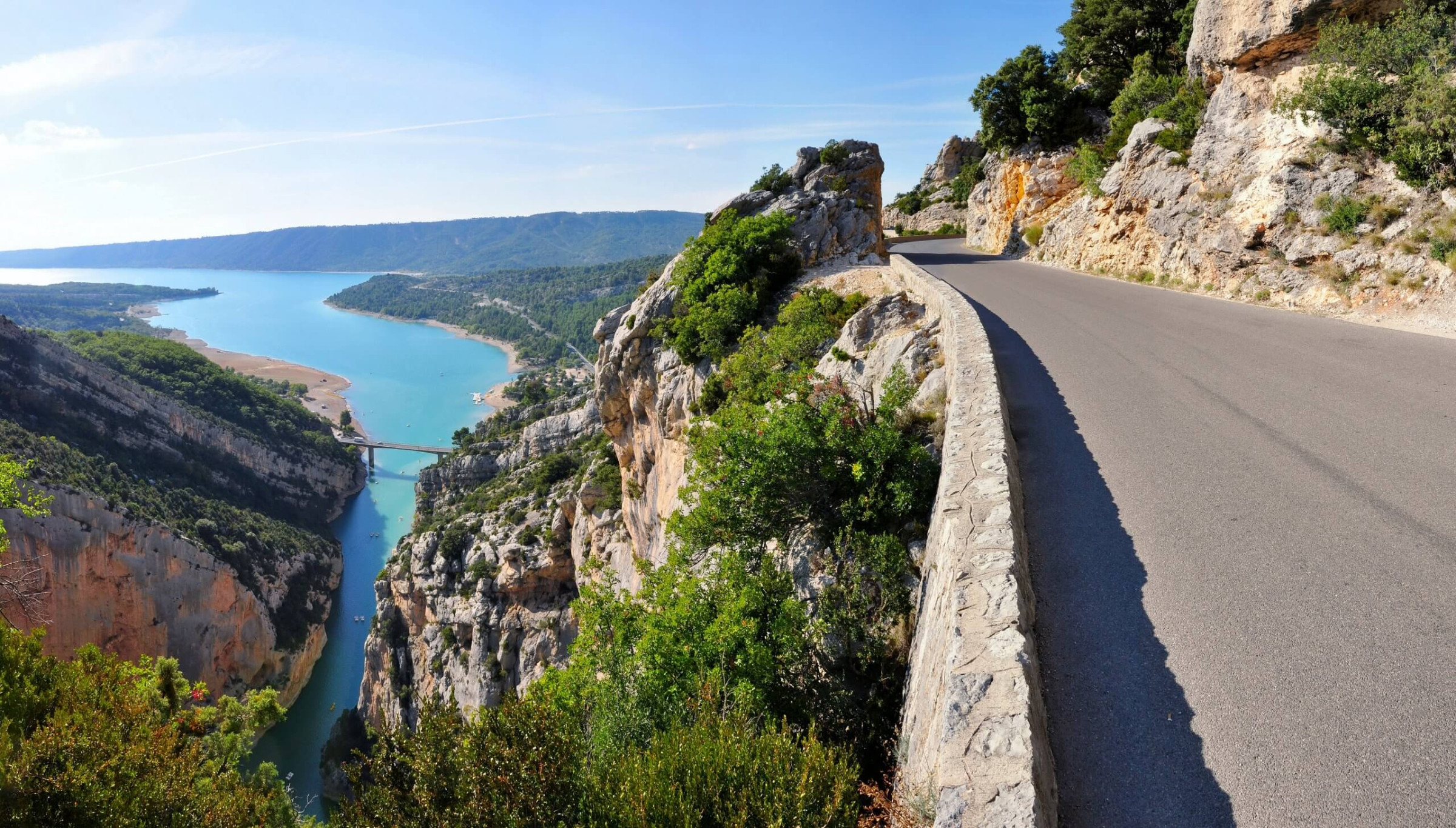
For those who'd rather see the gorge from above, the Route des Crêtes is a 23-kilometer loop road along the canyon's northern rim, passing fourteen marked viewpoints up to 700 meters above the river — often done by car, though an electric bike covers the same ground at a pace that suits the scenery better. And for anyone who just wants to cool off, Lake Sainte-Croix and Lake Castillon, both fed by the Verdon, offer some of the best swimming in Provence, turquoise water included.
Late spring to early autumn; summer for swimming, shoulder season for cooler hiking.
See weather details
No reviews yet. Be the first to share your experience!
Share your experience and help other travelers